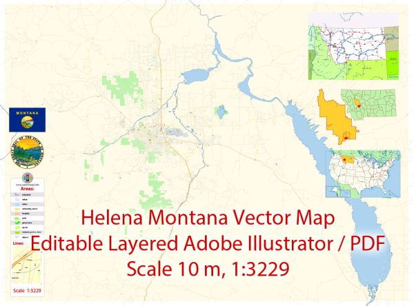
Here’s a description of some principal streets and roads in Helena, Montana:
- Last Chance Gulch: This is the main street in downtown Helena, hosting a variety of shops, restaurants, and historic buildings. It’s a focal point for local businesses and events.
- Prospect Avenue: Running through the southwestern part of Helena, Prospect Avenue passes through residential neighborhoods and provides access to amenities.
- Montana Avenue: This east-west road intersects with Last Chance Gulch and connects different parts of the city. It is an essential route for navigation through Helena.
- Cedar Street: A north-south road intersecting Last Chance Gulch, Cedar Street is another key thoroughfare in Helena, providing access to businesses and residences.
- Euclid Avenue: Located in the northern part of Helena, Euclid Avenue is a significant road passing through both residential and commercial areas.
- Harrison Avenue: Found in the western part of Helena, Harrison Avenue is an important road connecting various neighborhoods and providing access to services.
- I-15 and I-90: Helena is accessible via Interstate 15 and Interstate 90, which connect the city to other parts of Montana and the region.
- Helena Regional Airport: Located northeast of the city, the airport serves as a transportation hub for the region.
For the most accurate and up-to-date information, consider checking with local sources, such as the City of Helena’s official website or local maps, as changes to infrastructure and road networks may have occurred since my last update.


 Author: Kirill Shrayber, Ph.D. FRGS