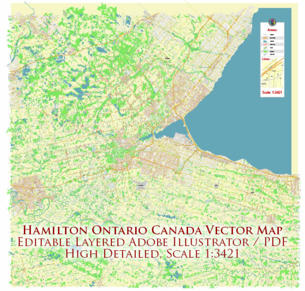
Hamilton, Ontario, Canada, is a city with a network of streets and roads that serve its residents and visitors. A general overview of some principal streets and roads in Hamilton, here are some notable streets and roads in Hamilton:
- Main Street West and East: Main Street is a major thoroughfare that runs through the heart of Hamilton. It connects various neighborhoods and commercial areas.
- King Street West and East: King Street is another important east-west corridor in Hamilton, hosting commercial and residential developments.
- Queenston Road: This road runs east-west and is an essential route connecting different parts of the city.
- Upper James Street: Running north-south, Upper James Street is a significant road with various businesses, shopping centers, and restaurants.
- Mohawk Road: Mohawk Road is an east-west arterial road that spans different neighborhoods and provides access to key areas.
- Lincoln M. Alexander Parkway (LINC): This is a major east-west expressway that connects the west end of Hamilton to the Red Hill Valley Parkway.
- Red Hill Valley Parkway: This parkway provides a north-south route through the city, connecting the Lincoln M. Alexander Parkway to the Queen Elizabeth Way (QEW).
- Highway 403: While not within Hamilton’s city limits, Highway 403 is a major freeway that passes just to the north of the city, providing important regional connectivity.
- James Street North: Known for its vibrant arts scene, James Street North is a cultural hub with galleries, shops, and restaurants.
- Wilson Street: Located in the Dundas area, Wilson Street is a central street with historical charm, featuring shops and cafes.
Remember that new developments or changes to the infrastructure may have occurred since my last update. For the most accurate and current information, consider checking with local sources, such as the City of Hamilton or a reliable map service.


 Author: Kirill Shrayber, Ph.D. FRGS