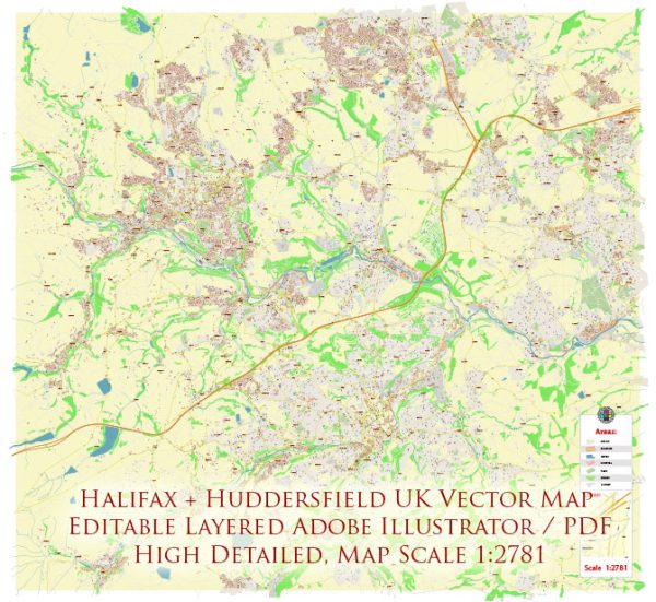
Halifax and Huddersfield are towns in West Yorkshire, United Kingdom, and they each have distinct streets and roads that make up their urban landscape. Here’s a general description of some principal streets and roads in Halifax and Huddersfield:
Halifax:
- South Parade: A historic street in the town center with Victorian architecture, shops, and businesses.
- Commercial Street: Another central street known for its retail shops, cafes, and restaurants.
- Wards End: A key area with shopping facilities and the Victoria Theatre.
- George Square: A public square surrounded by shops and businesses.
- Charlestown Road: Connecting various neighborhoods and providing access to amenities.
- Skircoat Green Road: Leading to the residential area of Skircoat Green, lined with houses and local services.
- A58 (Burdock Way): A major road connecting Halifax with other towns and cities.
Huddersfield:
- John William Street: A central street with a mix of retail, dining, and entertainment options.
- King Street: Another important shopping street in the town center.
- New Street: Connecting key areas and featuring shops and businesses.
- Ramsden Street: Home to the Huddersfield Library and Art Gallery.
- St. George’s Square: A public square with the railway station, the George Hotel, and events space.
- Chapel Hill: Leading towards the University of Huddersfield campus and featuring student-friendly amenities.
- A629 (Ring Road): Encircling the town center, providing access to various neighborhoods.
These are just a few examples, and both towns have a network of smaller roads and streets that make up their respective urban landscapes. Additionally, urban development and changes may have occurred since my last update, so it’s a good idea to consult local maps or online resources for the most current information.


 Author: Kirill Shrayber, Ph.D. FRGS