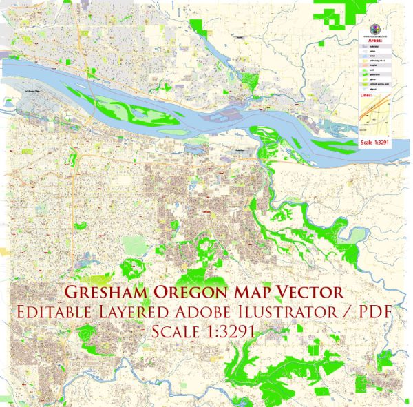
Principal streets and roads in Gresham, Oregon, a general information on the layout of streets and roads in typical suburban areas.
Gresham is a city located in Multnomah County, Oregon, and like many suburban areas, it likely has a grid-like street pattern with main thoroughfares and smaller residential streets. Some general characteristics you might find in a city like Gresham include:
- Main Roads:
- Powell Boulevard (US Route 26): This is a major east-west route that passes through Gresham and connects it to Portland.
- Burnside Street: Another important east-west road in the area.
- Division Street: Runs parallel to Powell Boulevard and is also a significant road.
- North-South Roads:
- 182nd Avenue: This is a major north-south road in Gresham.
- Hogan Drive: Another road running north-south.
- Grid Layout:
- Suburban areas often have a grid layout, with streets running perpendicular and parallel to each other.
- Numbered streets and avenues may be used, with higher numbers typically in the eastern and southern parts of the city.
- Residential Areas:
- Residential streets are usually quieter and have names rather than numbers.
- Cul-de-sacs and loops are common in residential neighborhoods.
- Landmarks:
- Gresham is likely to have various parks, schools, and commercial areas that contribute to the layout of the city.
For the most accurate and up-to-date information, I recommend checking with the City of Gresham’s official website, local maps, or a navigation app. Additionally, contacting the city’s planning or transportation department can provide you with detailed information about principal streets and roads in Gresham.


 Author: Kirill Shrayber, Ph.D. FRGS