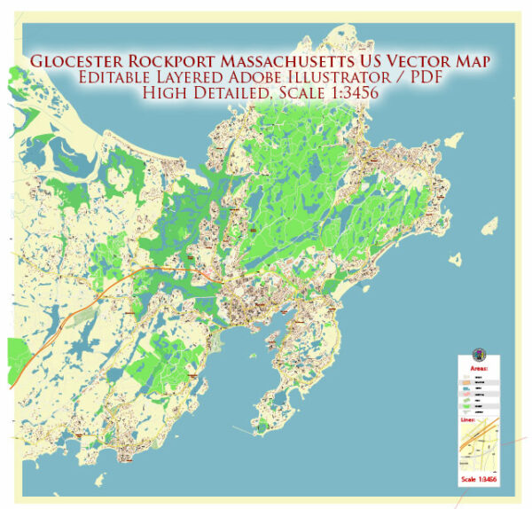
Street and road in Gloucester and Rockport, Massachusetts, a general overview of the layout and some prominent streets in these areas based on historical data.
Gloucester, Massachusetts:
- Main Street: This is often a central hub for many towns. It’s likely to have a mix of shops, restaurants, and possibly historic buildings.
- Washington Street: Another key street, it might have a combination of residential and commercial areas.
- Rogers Street: This street often runs along the waterfront and may offer scenic views.
- Western Avenue: This might be an important road connecting different parts of the town.
Rockport, Massachusetts:
- Bearskin Neck: A famous area in Rockport known for its shops, galleries, and seafood restaurants. It’s a scenic area with views of the harbor.
- Main Street: Similar to Gloucester, Main Street in Rockport is likely to be a central location with shops and eateries.
- Broadway: This road may connect various parts of Rockport and could have a mix of residential and commercial areas.
- Pleasant Street: Another possible thoroughfare with a mix of services.
Please note that the best way to get the most accurate and up-to-date information about the streets and roads in Gloucester and Rockport is to consult a local map or contact the respective city or town hall for the latest information. Local government websites and mapping services like Google Maps can also provide detailed and current street information.


 Author: Kirill Shrayber, Ph.D.