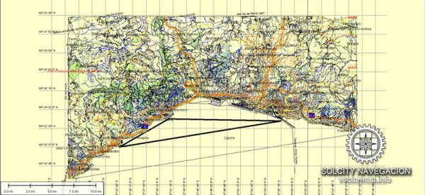
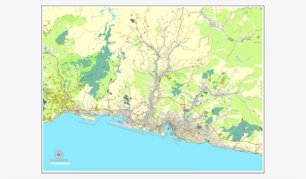
Genoa, Italy, is a historic city with a complex network of streets and roads that wind through its hilly terrain. The city is known for its narrow lanes, historic architecture, and its role as a major port. While it’s not possible to list every single street, here are some of the principal streets and roads in Genoa:
- Via Garibaldi (Strada Nuova): This is one of the most famous streets in Genoa and is a UNESCO World Heritage Site. It is lined with stunning Renaissance and Baroque palaces, now housing museums and art collections.
- Via XX Settembre: A major shopping street and one of the main avenues in Genoa, known for its shops, boutiques, and cafes. It stretches from Piazza Corvetto to Piazza de Ferrari.
- Corso Italia: Running along the waterfront, Corso Italia offers beautiful views of the sea. It’s a lively street with shops, restaurants, and bars.
- Via Balbi: Another important street in Genoa, it is known for the Palazzo Reale and the University of Genoa. The street is lined with impressive buildings and landmarks.
- Salita San Matteo: A charming, narrow lane in the historic center of Genoa, leading to the beautiful San Matteo Square. The street is lined with medieval buildings.
- Vico delle Carrozze: This is a picturesque alley in the old town, known for its cobblestone streets and colorful buildings.
- Piazza de Ferrari: While technically a square, Piazza de Ferrari is a central point in the city and a hub of activity. It is surrounded by important buildings, including the Palazzo Ducale and the Teatro Carlo Felice.
- Via San Lorenzo: This street is part of the historic center and is known for the San Lorenzo Cathedral. It’s a lively area with shops, cafes, and markets.
- Via di Canneto il Lungo: A charming alley in the heart of the old town, known for its medieval architecture and atmospheric surroundings.
- Lungomare di Pegli: This is a coastal road in the Pegli district, offering scenic views of the Ligurian Sea.
Genoa’s layout is characterized by a maze of narrow streets and alleys in the historic center, so exploring on foot is a great way to discover the city’s unique charm. Keep in mind that the city has a complex topography with hills and slopes, so some streets may involve steep climbs or descents.


 Author: Kirill Shrayber, Ph.D. FRGS