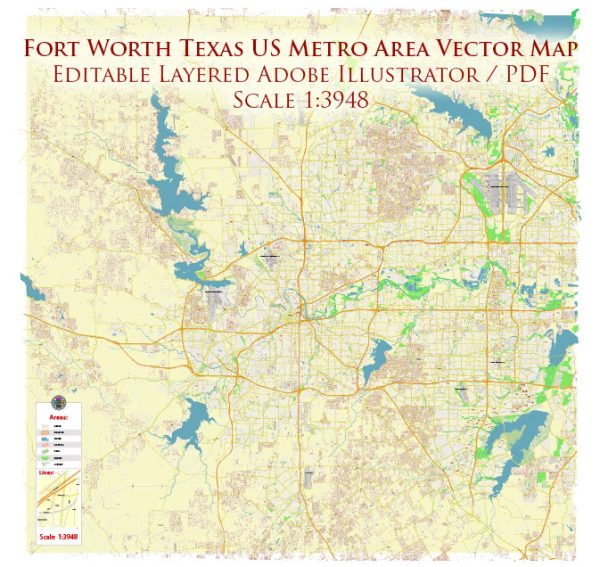
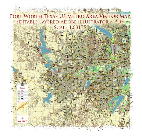
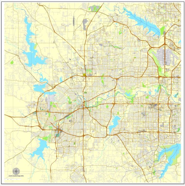
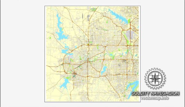
Fort Worth, Texas, is a large city with an extensive network of streets and roads.
- Interstate 35W (I-35W): This major north-south interstate runs through the western part of Fort Worth, connecting the city to Denton to the north and Hillsboro to the south.
- Interstate 20 (I-20): Running east-west, I-20 is a key interstate that passes through the southern part of Fort Worth, connecting the city to Dallas in the east and Abilene in the west.
- Interstate 30 (I-30): Another significant east-west interstate, I-30 passes through the northern part of Fort Worth and connects the city to Dallas in the east and Abilene in the west.
- Loop 820: This is a loop freeway that encircles much of Fort Worth, providing a route around the city. It intersects with major north-south and east-west highways, facilitating access to various parts of the city.
- Texas State Highway 121 (TX-121): Running northeast-southwest, TX-121 connects Fort Worth to the Dallas-Fort Worth International Airport and various suburbs.
- U.S. Highway 287 (US-287): This north-south highway passes through Fort Worth, providing access to cities like Amarillo to the northwest and Houston to the southeast.
- U.S. Highway 377 (US-377): Running north-south, US-377 connects Fort Worth to cities such as Granbury to the southwest and Denton to the north.
- East Lancaster Avenue: A major east-west artery that passes through the eastern part of Fort Worth, connecting downtown to the eastern suburbs.
- West 7th Street: This street is known for its entertainment and shopping district, running through the cultural district and offering a vibrant area for residents and visitors.
- Hulen Street: Running north-south, Hulen Street is a significant commercial corridor with various shopping centers and businesses.
Please note that Fort Worth is a large city with many other streets and roads, and the information provided here is not exhaustive. Local maps, navigation apps, or city guides can provide more detailed and up-to-date information on the streets and roads in Fort Worth.


 Author: Kirill Shrayber, Ph.D. FRGS