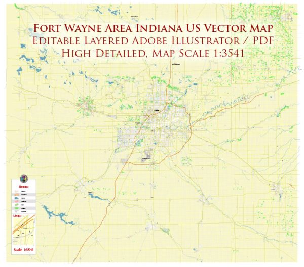
A general overview of some principal streets and roads in Fort Wayne, Indiana. Here are some notable streets and roads in Fort Wayne:
- Interstate 69 (I-69): Running north-south, I-69 is a major interstate highway that passes through Fort Wayne, connecting the city with other parts of Indiana.
- Interstate 469 (I-469): This is a beltway that encircles the eastern and southern parts of Fort Wayne, providing a bypass route for through traffic.
- Lafayette Street: Located in downtown Fort Wayne, Lafayette Street is a significant north-south road with various commercial and cultural establishments.
- Jefferson Boulevard: Running east-west, Jefferson Boulevard is an important thoroughfare with a mix of residential and commercial areas, including shopping centers and businesses.
- Coliseum Boulevard: This road is known for the Allen County War Memorial Coliseum, a popular venue for events, concerts, and sports in Fort Wayne.
- Coldwater Road: This major north-south road features shopping centers, restaurants, and various retail establishments.
- Anthony Boulevard: Running north-south, Anthony Boulevard passes through both residential and commercial areas and is known for its historic neighborhoods.
- Illinois Road: Extending west from downtown, Illinois Road is a key route with shopping centers, restaurants, and residential developments.
- Dupont Road: This road runs across the northern part of the city and is home to various neighborhoods, schools, and businesses.
- Maplecrest Road: Located in the northeastern part of Fort Wayne, Maplecrest Road is known for its residential neighborhoods and commercial developments.
- Stellhorn Road: Running east-west, Stellhorn Road is a significant road with various shopping centers, restaurants, and residential areas.
Remember that Fort Wayne is a growing city, and new developments may have occurred since my last update. If you need the most current and detailed information, consider checking a local map or using online mapping services for real-time updates.


 Author: Kirill Shrayber, Ph.D. FRGS