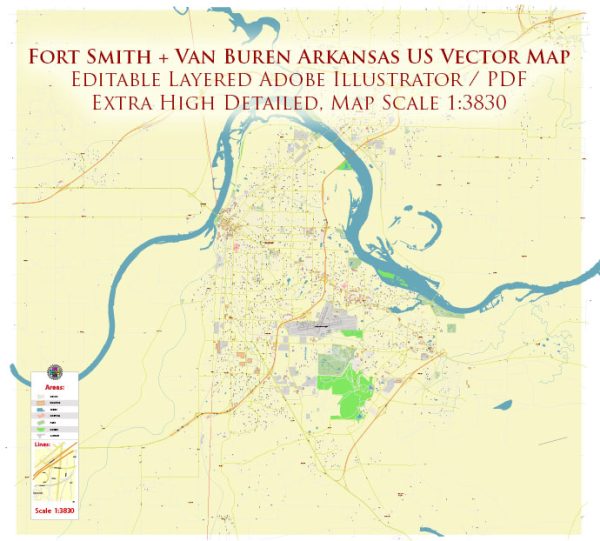
About the principal streets and roads in Fort Smith and Van Buren, Arkansas, general information about these cities based on common features.
Fort Smith and Van Buren are neighboring cities in western Arkansas, and they are connected by various roads and bridges. Here are some general aspects you might find in these cities:
Fort Smith, Arkansas:
Major Roads:
- Rogers Avenue: A significant east-west thoroughfare with various businesses and commercial areas.
- Garrison Avenue: Historic street with shops, restaurants, and entertainment venues.
- Phoenix Avenue: Another important east-west route with shopping centers and businesses.
Bridges:
- Midland Bridge: Connecting Fort Smith to Van Buren across the Arkansas River.
Landmarks:
- Fort Smith National Historic Site: Includes the historic courthouse and other buildings.
Van Buren, Arkansas:
Major Roads:
- Main Street: Often a central street in many cities, hosting local businesses.
- Broadway Street: Another common street name, potentially hosting shops and restaurants.
Bridges:
- Midland Bridge: Connecting Van Buren to Fort Smith.
Landmarks:
- Historic Downtown Van Buren: Contains historic buildings, shops, and restaurants.
Connecting Roads:
Apart from the Midland Bridge, Interstate 540 (I-540) connects Fort Smith and Van Buren, providing a direct route between the two cities.
Please note that the information might have changed since my last update, and it’s always a good idea to check a recent map or GPS for the most accurate and up-to-date information on streets and roads in Fort Smith and Van Buren.


 Author: Kirill Shrayber, Ph.D. FRGS