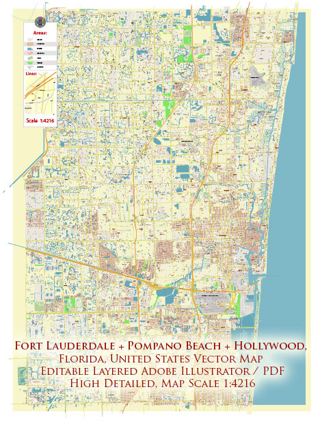
A brief overview of some of the principal streets and roads in Fort Lauderdale, Pompano Beach, and Hollywood, Florida. Keep in mind that developments and road networks can change, so it’s always a good idea to check for the latest maps and information. Here’s a general overview:
Fort Lauderdale:
- Las Olas Boulevard: This iconic street is known for its upscale shops, restaurants, and cultural venues. It runs east-west and is a popular destination for both locals and tourists.
- A1A (North Ocean Boulevard): Running along the coast, A1A provides scenic views of the Atlantic Ocean and is home to many beachfront hotels and restaurants.
- US-1 (Federal Highway): A major north-south highway, US-1 connects Fort Lauderdale to other parts of Florida. It’s lined with businesses and shopping centers.
- I-95: This interstate runs north-south and is a major transportation artery, connecting Fort Lauderdale to Miami and other cities.
Pompano Beach:
- Atlantic Boulevard: A significant east-west road, Atlantic Boulevard is known for its commercial establishments, residential areas, and access to the beach.
- Pompano Beach Boulevard: Running parallel to the coast, this road provides access to the beach and various waterfront attractions.
- Powerline Road: A north-south road that intersects with Atlantic Boulevard, providing access to residential neighborhoods and commercial areas.
Hollywood:
- Hollywood Boulevard: A major east-west road that runs through downtown Hollywood, offering a mix of shops, restaurants, and entertainment venues.
- Ocean Drive (A1A): Along the coast, Ocean Drive provides access to Hollywood Beach, known for its broadwalk and vibrant atmosphere.
- I-95: Like in Fort Lauderdale, I-95 is a major interstate that runs through Hollywood, facilitating transportation between cities.
- Florida’s Turnpike: This toll road provides additional north-south connectivity for those traveling through or around Hollywood.
These are just a few of the main streets and roads in each city. It’s important to consult updated maps or navigation tools for the most accurate and current information. Additionally, each city has its own network of local streets and avenues that contribute to the overall transportation infrastructure.


 Author: Kirill Shrayber, Ph.D. FRGS