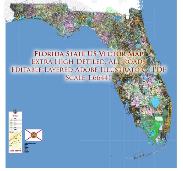
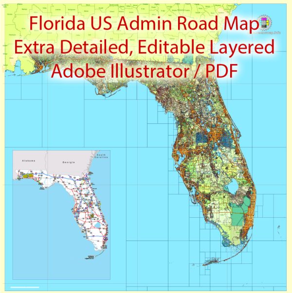
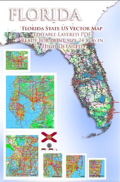
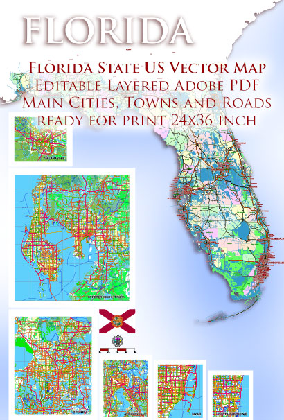
Florida, located in the southeastern United States, has a diverse network of waterways and main roads that play a crucial role in the state’s transportation and commerce. Here is a brief description of some of Florida’s principal waterways and main roads:
Waterways:
- St. Johns River: One of the longest rivers in Florida, flowing northward for about 310 miles. It is a major waterway for transportation and recreation.
- Suwannee River: Known for its scenic beauty, the Suwannee River flows southwestward and empties into the Gulf of Mexico. It is popular for boating and paddling.
- Intracoastal Waterway (ICW): This is a series of bays, rivers, and canals that runs parallel to the Atlantic and Gulf coasts. It provides a sheltered route for boats and is crucial for maritime commerce.
- Everglades: A vast, slow-moving river of grass that covers much of southern Florida. The Everglades is a unique ecosystem and a UNESCO World Heritage Site.
- Gulf Intracoastal Waterway: Connecting bays, rivers, and canals along the Gulf Coast, this waterway facilitates commercial shipping and recreational boating.
- Tampa Bay: A large natural harbor on the Gulf of Mexico, Tampa Bay is an important economic and recreational hub.
Main Roads:
- Interstate 95 (I-95): Running along Florida’s eastern coast, I-95 is a major north-south interstate highway that connects Florida to the rest of the eastern seaboard.
- Interstate 75 (I-75): This north-south interstate highway runs from the Georgia-Florida border through the western part of the state, passing through cities like Tampa and Naples.
- Florida’s Turnpike: A toll road that spans the length of the state, connecting Miami in the south to Wildwood in the north.
- Interstate 10 (I-10): Stretching across the northern part of Florida, I-10 is a major east-west interstate highway connecting Jacksonville to Pensacola.
- U.S. Highway 1 (US 1): Running along the east coast, U.S. 1 is a historic highway that connects Key West to the Canadian border.
- Tamiami Trail (U.S. 41): Connecting Tampa and Miami, this road crosses the Everglades and is an important route in southern Florida.
- Alligator Alley (I-75): A section of I-75 that cuts across the Everglades, providing a direct route between the east and west coasts of southern Florida.
These waterways and roads are integral to Florida’s transportation infrastructure, supporting both economic activities and tourism in the state.


 Author: Kirill Shrayber, Ph.D. FRGS