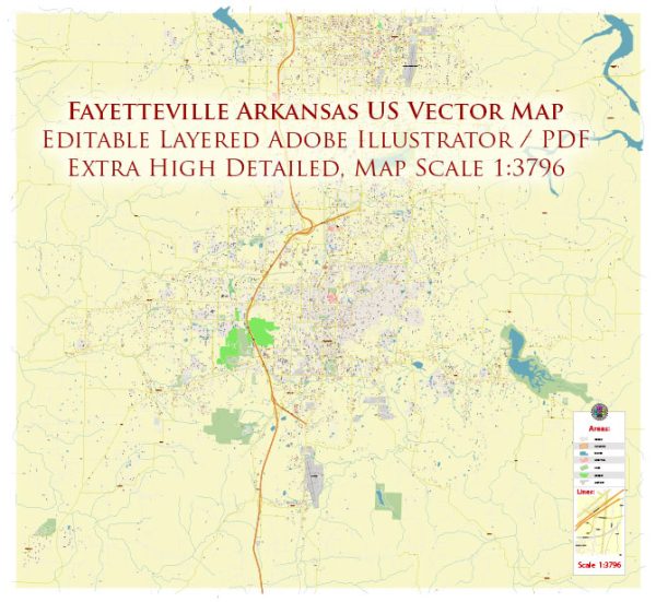
Fayetteville, Arkansas, is a city with a well-planned street system. The city is known for its scenic beauty and cultural attractions, and its street layout reflects a combination of historic and modern elements. Here are some principal streets and roads in Fayetteville:
- Dickson Street: This is one of the most iconic streets in Fayetteville, known for its vibrant nightlife, diverse dining options, and unique shops. It’s a hub for entertainment and cultural events.
- College Avenue: College Avenue is a major north-south thoroughfare that runs through the heart of Fayetteville. It hosts a variety of businesses, restaurants, and shops.
- Martin Luther King Jr. Boulevard (MLK): MLK Boulevard is an important east-west road, connecting the University of Arkansas campus to the downtown area. It features various commercial establishments, including restaurants and retail stores.
- Wedington Drive: Running west from College Avenue, Wedington Drive is a significant road that provides access to residential areas, shopping centers, and the Washington Regional Medical Center.
- North Street: North Street is located near the University of Arkansas campus and is lined with student housing, as well as some local businesses and eateries.
- Township Street: Township Street is a major road on the west side of Fayetteville, providing access to neighborhoods, schools, and parks.
- Joyce Boulevard: Running parallel to College Avenue, Joyce Boulevard is a busy road with various commercial developments, including shopping centers and restaurants.
- Crossover Road: Crossover Road is an important north-south route on the eastern side of Fayetteville, connecting various residential neighborhoods and providing access to shopping areas.
- Zion Road: Located on the west side of the city, Zion Road connects various residential neighborhoods and provides access to parks and schools.
- Gregg Avenue: Gregg Avenue is a north-south road that intersects with MLK Boulevard, providing access to the Washington Regional Medical Center and residential areas.
These are just a few examples, and there are many more streets and roads that make up the comprehensive transportation network in Fayetteville. The city’s layout is designed to accommodate the needs of residents, students, and visitors, with a mix of residential, commercial, and recreational areas. Keep in mind that urban development and road networks may change, so it’s always a good idea to refer to current maps or local resources for the latest information.


 Author: Kirill Shrayber, Ph.D.