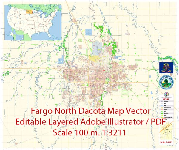
Principal streets and roads in Fargo, North Dakota, some general information based on historical data.
Fargo is the largest city in North Dakota and is located in Cass County. Some of the key streets and roads in Fargo include:
- Main Avenue: This is one of the main east-west thoroughfares in Fargo and is home to many businesses, shops, and restaurants.
- Broadway: Broadway is a prominent north-south street in downtown Fargo, known for its historic buildings, theaters, and cultural attractions.
- 13th Avenue: Running east-west, 13th Avenue is a major commercial corridor with shopping centers, restaurants, and various businesses.
- University Drive: This road runs through Fargo and Moorhead, Minnesota, and is home to North Dakota State University. It connects various parts of the city and is lined with commercial establishments.
- Interstate 29 (I-29): This north-south interstate highway runs through Fargo, providing a key transportation route through the region.
- Interstate 94 (I-94): Running east-west, I-94 passes just south of Fargo and connects the city to other major cities in the region.
- 45th Street: Another major north-south road, 45th Street is known for its retail developments, including shopping centers and restaurants.
Keep in mind that road systems can change, and new developments may have occurred since my last update. For the most accurate and current information, it’s recommended to check with local sources, such as the City of Fargo’s official website, maps, or navigation apps.


 Author: Kirill Shrayber, Ph.D. FRGS