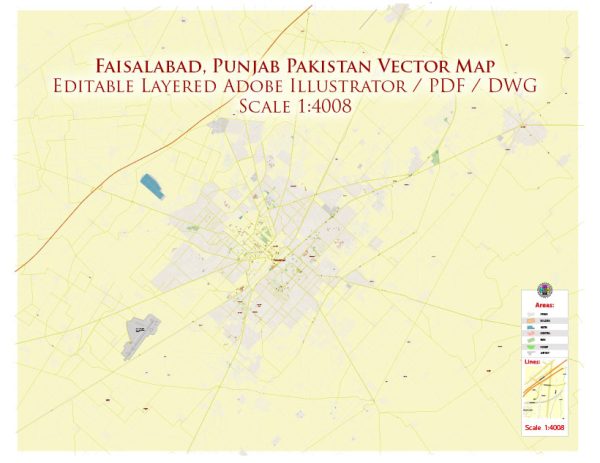
Faisalabad, often referred to as the “Manchester of Pakistan,” is one of the major industrial and economic centers in the country. It is known for its textile industry and plays a crucial role in Pakistan’s economy. Some of the main streets and roads in Faisalabad, here are some principal streets and roads in Faisalabad:
- Clock Tower Road (Ghanta Ghar Road): Clock Tower is a central landmark in Faisalabad, and the road around it is a busy commercial area with shops, markets, and historical buildings.
- Jaranwala Road: This road connects Faisalabad to the nearby city of Jaranwala and is an important route for transportation and trade.
- Kohinoor City Road: Kohinoor City is a prominent area in Faisalabad, and the road connecting it is known for various commercial activities and residential neighborhoods.
- Canal Road: Running alongside the Lower Chenab Canal, Canal Road is a major thoroughfare in Faisalabad, connecting different parts of the city.
- Susan Road: Susan Road is a commercial area with numerous shops, markets, and businesses. It is known for its vibrant atmosphere and diverse retail outlets.
- Railway Road: As the name suggests, this road runs along the railway tracks and is an important route for transportation and logistics.
- D-Ground: D-Ground is a commercial and shopping area in Faisalabad, and the roads around it are bustling with activity, featuring a variety of shops, restaurants, and businesses.
- Sargodha Road: Connecting Faisalabad to the nearby city of Sargodha, this road serves as a vital link for trade and transportation.
- People’s Colony: People’s Colony is a residential area with well-planned streets and neighborhoods.
- Satiana Road: Satiana Road is known for its educational institutions, including universities and colleges. It’s also home to various commercial establishments.
These are just a few examples, and Faisalabad has an extensive network of roads and streets. The city is continually growing and developing, so it’s a good idea to check with local sources for the latest information on roads and infrastructure.


 Author: Kirill Shrayber, Ph.D. FRGS