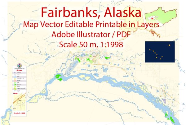
Fairbanks, Alaska, is the second-largest city in the state and is located in the central part of Alaska’s Interior region. While Fairbanks is not as densely populated as many other cities, it has a network of streets and roads that serve the community and connect it to other parts of the region. Here are some principal streets and roads in Fairbanks:
- Airport Way: This major east-west road connects the Fairbanks International Airport to the downtown area. It is an important route for both residents and visitors.
- Barnette Street: Running through the heart of downtown Fairbanks, Barnette Street is a central north-south artery. It is home to many businesses, shops, and restaurants.
- Cushman Street: Another key street in downtown Fairbanks, Cushman Street intersects with Barnette Street and is known for its historical buildings, shops, and cultural attractions.
- University Avenue: Leading to the University of Alaska Fairbanks (UAF), University Avenue is an important road for students, faculty, and staff commuting to the campus.
- Parks Highway (Alaska Route 3): This major highway connects Fairbanks to Anchorage and passes through Denali National Park. It is a vital transportation route for both residents and tourists.
- Steese Highway (Alaska Route 2): Heading north from Fairbanks, the Steese Highway is an important route connecting the city to the Steese National Conservation Area and the mining communities of Fox and Chatanika.
- Chena Hot Springs Road: East of Fairbanks, this road leads to the popular Chena Hot Springs Resort and serves as a gateway to outdoor recreation areas.
- Geist Road: Located in the eastern part of Fairbanks, Geist Road is a residential area with access to schools and parks.
- College Road: This road runs through the eastern part of Fairbanks and provides access to various neighborhoods, businesses, and the University of Alaska Fairbanks campus.
- Old Steese Highway: Running parallel to the Steese Highway, the Old Steese Highway is a scenic route that offers an alternative way to reach areas north of Fairbanks.
Keep in mind that Fairbanks is a relatively small city, and its road network may not be as extensive as in larger urban areas. Additionally, road conditions can be challenging, especially during the winter months when temperatures drop significantly, and snow and ice are common. It’s always advisable to check local conditions and be prepared for winter driving if you plan to navigate Fairbanks’ streets and roads.


 Author: Kirill Shrayber, Ph.D. FRGS