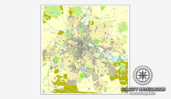
Derby, a city in the East Midlands of England, has a network of streets and roads that form its transportation infrastructure. Here are some of the principal streets and roads in Derby:
- Osmaston Road: A major road running east-west through the city, connecting the city center to the suburb of Osmaston.
- Uttoxeter New Road: Another important east-west route, connecting the city center to the suburb of Mickleover and the A50.
- Ashbourne Road: Running to the west of the city, it connects the city center to the A38 and the town of Ashbourne.
- London Road: Connecting the city center to the east and the A6, leading to the town of Belper and further to the Peak District.
- St. Alkmund’s Way: A major route running north-south through the city center, providing access to various neighborhoods and connecting to major roads such as the A601.
- A601: This road runs through the city center and connects various parts of Derby.
- A52 (Brian Clough Way): This is a significant east-west route passing to the south of Derby, connecting the city to Nottingham and the M1 motorway to the east and Stoke-on-Trent to the west.
- A38: Passing to the west of Derby, the A38 is a major north-south route connecting the city to Birmingham in the south and to the M1 motorway in the north.
- Pride Parkway: Located to the south of the city, it provides access to Pride Park, an area that includes the Derby County Football Club stadium and various business facilities.
- Raynesway: Running to the southeast of the city, it connects the city to the A6 and the suburb of Alvaston.
- Friar Gate: A historic street in the city center known for its architecture, shops, and restaurants.
Please note that Derby has a comprehensive network of smaller streets, avenues, and residential roads that make up its urban layout. For the most up-to-date and detailed information, it’s recommended to consult a local map or navigation system.


 Author: Kirill Shrayber, Ph.D. FRGS