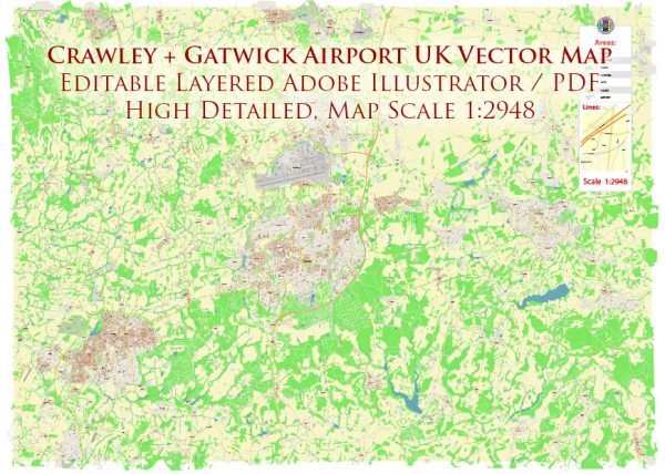
Crawley and Gatwick Airport are situated in West Sussex, England. While Crawley itself is a town with its own set of landmarks, Gatwick Airport is a major international airport and a significant landmark in its own right. Here’s a brief description of both:
Crawley:
- St. John the Baptist Church: Located in the town center, this historic church dates back to the 13th century. It features impressive architecture and serves as a focal point for the community.
- County Mall: Crawley’s main shopping center, County Mall, is a popular destination for shopping and leisure. It houses a variety of retail stores, restaurants, and entertainment facilities.
- Tilgate Park: A large park and nature reserve with a lake, Tilgate Park is a popular recreational area. It offers walking trails, a nature center, and various outdoor activities, making it a favorite spot for locals and visitors alike.
Gatwick Airport:
- North and South Terminals: Gatwick Airport has two main terminals, North and South, both of which are bustling with activity. The terminals are well-equipped with shops, restaurants, lounges, and facilities to accommodate the millions of passengers passing through each year.
- Gatwick Control Tower: The control tower at Gatwick Airport is an iconic structure overseeing the operations on the airfield. It symbolizes the airport’s role as a major aviation hub.
- Runways and Taxiways: Gatwick Airport boasts multiple runways and taxiways, showcasing the infrastructure required to manage a high volume of flights. The airport plays a crucial role in connecting the United Kingdom to destinations worldwide.
- Gatwick Aviation Museum: While not directly located at the airport, the Gatwick Aviation Museum nearby is a noteworthy attraction for aviation enthusiasts. It displays a collection of aircraft and artifacts, offering a glimpse into the history of aviation in the region.
Gatwick Airport, as one of the busiest airports in the United Kingdom, serves as a gateway for international travel and is a key transportation hub connecting people from around the world. The combination of Crawley’s local charm and Gatwick’s global significance makes the area a dynamic and diverse part of West Sussex.


 Author: Kirill Shrayber, Ph.D. FRGS