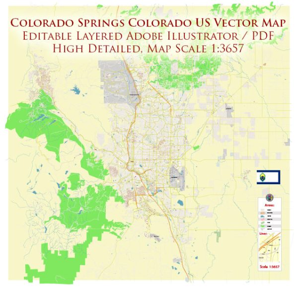
Colorado Springs is a city located in the state of Colorado, USA. It is known for its stunning natural surroundings, including the nearby Pikes Peak and the Garden of the Gods. A general overview of some principal streets and roads in Colorado Springs.
- Interstate 25 (I-25): This major north-south interstate runs through Colorado Springs, connecting the city with Denver to the north and Pueblo to the south.
- US Highway 24 (US-24): Also known as the “Midland Expressway” or “Platte Avenue,” US-24 is an east-west highway that passes through the city, providing access to points east and west.
- Academy Boulevard: This is a major north-south thoroughfare running through the eastern part of Colorado Springs. It is lined with various businesses, shopping centers, and restaurants.
- Powers Boulevard: Running north-south on the eastern side of the city, Powers Boulevard is a significant corridor with commercial areas and residential neighborhoods.
- Woodmen Road: An east-west arterial road, Woodmen Road is a key route connecting the eastern and western parts of the city. It intersects with I-25 and provides access to neighborhoods and businesses.
- Austin Bluffs Parkway: This road runs east-west, connecting the University of Colorado Colorado Springs (UCCS) area to the northeast part of the city.
- Uintah Street: Running east-west through the central part of Colorado Springs, Uintah Street is home to various local businesses and connects the downtown area with residential neighborhoods.
- Tejon Street: Located in downtown Colorado Springs, Tejon Street is a historic and vibrant street with shops, restaurants, and entertainment venues.
- Bijou Street: Another downtown street, Bijou Street, is known for its historic architecture and is home to various businesses and cultural attractions.
- Cheyenne Mountain Boulevard: Running in the southwestern part of the city, this road provides access to the Cheyenne Mountain area and the Cheyenne Mountain Zoo.
Please note that this is a general overview, and specific details or changes may have occurred since my last update. For the most current and detailed information, you may want to refer to local maps, navigation apps, or city planning resources.


 Author: Kirill Shrayber, Ph.D.