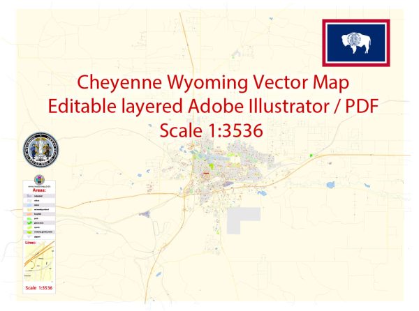
Cheyenne, Wyoming, is the capital and largest city of the state. The city is known for its Western charm and historic architecture. A general overview of some of the principal streets and roads in Cheyenne.
- Capitol Avenue: This is a significant street in Cheyenne, home to the Wyoming State Capitol building. It runs north-south through the downtown area.
- Lincolnway (Business I-80): Also known as U.S. Route 30, Lincolnway is a major east-west thoroughfare in Cheyenne. It passes through the heart of downtown and connects to Interstate 80.
- Central Avenue: Another north-south street that intersects with Capitol Avenue in downtown Cheyenne. It’s a key route for navigating the central part of the city.
- Warren Avenue: This road is important as it connects the downtown area to F.E. Warren Air Force Base, located to the west of the city.
- Greeley Highway (Business U.S. 85): Running north-south, this road is part of U.S. Route 85 and serves as a major route through Cheyenne.
- College Drive: Connecting the downtown area with Laramie County Community College, this road is an essential route for students and residents in the western part of Cheyenne.
- I-25 and I-80 Interchange: Cheyenne is served by both Interstate 25, running north-south, and Interstate 80, running east-west. The interchange of these two major highways is a crucial hub for regional transportation.
- Del Range Boulevard: Located in the southern part of the city, Del Range Boulevard is a significant road, providing access to residential and commercial areas.
Remember that street layouts and names may change, and new developments can alter the transportation infrastructure of a city. For the most accurate and current information, consider checking with a local map or contacting the Cheyenne city government or transportation authorities.


 Author: Kirill Shrayber, Ph.D. FRGS