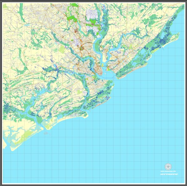
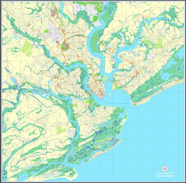
Charleston, South Carolina, is a city rich in history and architectural heritage. Here are some of its most famous buildings and landmarks:
- The Battery and White Point Garden:
- The Battery is a historic defensive seawall and promenade, lined with a series of grand antebellum mansions known as “Charleston’s Battery Row.”
- White Point Garden, located at the southern tip of the peninsula, is a beautiful public park with historic cannons, statues, and memorials.
- Rainbow Row:
- This iconic row of 13 pastel-colored Georgian-style houses along East Bay Street is one of the most photographed locations in Charleston. The buildings date back to the 18th century.
- Waterfront Park:
- Located in historic downtown Charleston, Waterfront Park features beautiful gardens, walking paths, and the famous Pineapple Fountain. It offers stunning views of the Cooper River.
- St. Michael’s Episcopal Church:
- Founded in the 1750s, St. Michael’s is one of the oldest churches in Charleston. Its iconic steeple is a prominent feature of the city’s skyline.
- The Old Exchange and Provost Dungeon:
- Dating back to the colonial era, the Old Exchange Building served as a customs house and meeting place. The Provost Dungeon below ground tells the story of Charleston’s role in the American Revolution.
- Charleston City Market:
- One of the nation’s oldest public markets, the City Market stretches for four city blocks and features a variety of vendors selling traditional Gullah sweetgrass baskets, local crafts, and more.
- Nathaniel Russell House:
- This Federal-style mansion, built in the early 19th century, is known for its exquisite neoclassical architecture and beautiful gardens. It is open to the public for tours.
- Old Slave Mart Museum:
- Once a place where slaves were auctioned, the Old Slave Mart is now a museum that provides insight into Charleston’s role in the slave trade.
- Gibbes Museum of Art:
- Housed in a Beaux-Arts building, the Gibbes Museum features a diverse collection of American art, with a focus on the art of the American South.
- Charleston Tea Garden:
- While not in the heart of the city, the Charleston Tea Garden on Wadmalaw Island is a unique attraction. Visitors can tour the tea plantation, learn about the tea-making process, and enjoy the scenic surroundings.
These landmarks collectively contribute to Charleston’s charm and serve as a testament to its rich cultural and historical significance.


 Author: Kirill Shrayber, Ph.D. FRGS