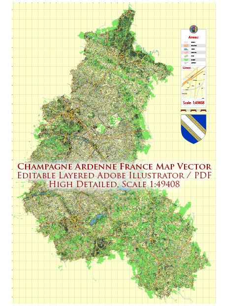
Champagne-Ardenne is a former administrative region in northeastern France, which has been merged into the Grand Est region. The region was known for its picturesque landscapes, historic sites, and, of course, its famous sparkling wine, Champagne. Here’s an overview of the principal waterways and main roads in the Champagne-Ardenne region:
Principal Waterways:
- River Seine: The Seine River flows through the southern part of the Champagne-Ardenne region. It is one of the most important and well-known rivers in France, passing through cities such as Troyes and flowing towards Paris.
- Marne River: The Marne River is a major tributary of the Seine and flows through the Champagne-Ardenne region. It is renowned for its picturesque valleys and vineyards along its banks.
- Aube River: Another significant river in the region is the Aube, which also flows into the Seine. It passes through the city of Troyes.
Main Roads:
- A4 (Autoroute de l’Est): The A4 is a major autoroute that crosses Champagne-Ardenne, connecting Paris to the eastern regions of France and beyond. It passes through Reims, Châlons-en-Champagne, and other important towns.
- A26 (Autoroute des Anglais): This autoroute traverses the Champagne-Ardenne region from north to south, connecting Calais in the north to Troyes and beyond in the south. It is an important route for both local and international travel.
- N4: The N4 is a national road that connects Paris to the eastern part of France. It passes through the Champagne-Ardenne region, providing a route for both local and long-distance traffic.
- N44: This national road serves as a connection between the A4 and the A26 autoroutes, passing through Châlons-en-Champagne.
- D roads (Départementales): The region is also crisscrossed by numerous departmental roads, providing access to smaller towns and rural areas.
Cities and Towns:
- Reims: Known for its magnificent cathedral and as the center of the Champagne wine-producing region.
- Troyes: A historic city with well-preserved medieval architecture.
- Châlons-en-Champagne: Famous for its well-preserved medieval buildings and its proximity to the Marne River.
Champagne-Ardenne’s road and waterway network played a crucial role in the region’s historical development and economic activities, including the transportation of Champagne wines to various markets.


 Author: Kirill Shrayber, Ph.D. FRGS