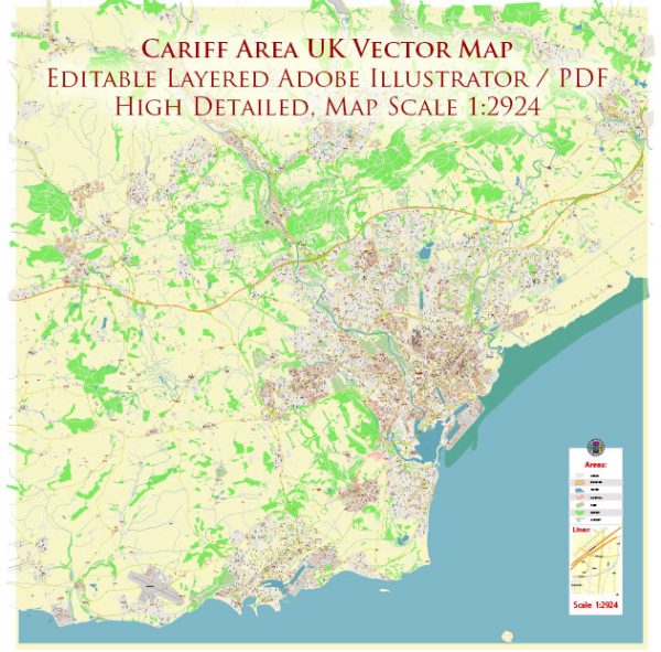
Cardiff, the capital and largest city of Wales, is known for its rich history, vibrant culture, and diverse neighborhoods. The city is characterized by a network of streets and roads that connect various districts and landmarks.
- Queen Street:
- A major shopping street in the city center.
- Home to numerous shops, department stores, and cafes.
- St. Mary Street:
- Parallel to Queen Street, it’s known for its nightlife, pubs, and restaurants.
- Connects Cardiff Castle with Cardiff Central railway station.
- The Hayes:
- A pedestrianized area featuring shops, restaurants, and cultural venues.
- Hosts events and festivals throughout the year.
- Castle Street:
- Runs alongside Cardiff Castle and connects the city center with Cardiff Bay.
- Westgate Street:
- Leads to the Principality Stadium (formerly known as Millennium Stadium).
- A hub for sports events, concerts, and major gatherings.
- Bute Street:
- Located in Cardiff Bay, connecting the bay area with the city center.
- Features waterfront views and various entertainment venues.
- Newport Road:
- Connects the city center with the eastern suburbs.
- Home to institutions like Cardiff University and the Royal Infirmary.
- North Road:
- Connects the city center with the northern suburbs.
- Hosts Cardiff University’s main campus and civic buildings.
- Cowbridge Road East and West:
- Passes through the district of Canton, known for its diverse community and local businesses.
- Albany Road:
- Located in the Roath area, known for its student population and independent shops.
- City Road:
- Home to a mix of cultural and ethnic diversity, with various restaurants and businesses.
- Lloyd George Avenue:
- Connects the city center with Cardiff Bay, passing through the area around the Wales Millennium Centre.
These are just a few examples, and there are many more streets and roads that contribute to Cardiff’s urban landscape. The city is continually evolving, with ongoing developments and revitalization projects that may impact its infrastructure. For the most up-to-date information and details, it’s recommended to refer to local maps, city guides, or official sources.


 Author: Kirill Shrayber, Ph.D.