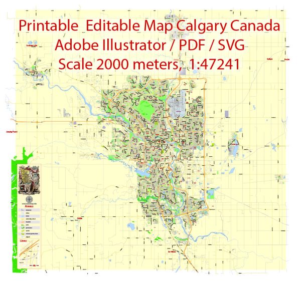
Calgary, located in the province of Alberta, Canada, has a well-organized road network with several principal streets and roads that facilitate transportation throughout the city. Here are some of the key streets and roads in Calgary:
- Trans-Canada Highway (Highway 1): This major east-west highway connects Calgary to other cities in Alberta and extends across the country.
- Deerfoot Trail (Highway 2): Deerfoot Trail is a major north-south freeway that runs through the eastern part of Calgary. It is one of the busiest roads in the city and a crucial route for commuters.
- Glenmore Trail: Running east-west, Glenmore Trail is an important expressway that connects the southwestern and southeastern parts of the city. It intersects with Deerfoot Trail and provides access to various communities.
- Stoney Trail (Highway 201): This ring road encircles the city and provides a connection to different quadrants of Calgary. It is a vital route for commuters traveling around the city.
- Crowchild Trail: Crowchild Trail is a significant north-south route that connects the northwest and southwest quadrants of the city. It runs parallel to the Bow River and provides access to the University of Calgary.
- MacLeod Trail: Another major north-south route, MacLeod Trail, runs through the city center and provides access to various neighborhoods, commercial areas, and the Chinook Centre shopping mall.
- 16th Avenue (Trans-Canada Highway): Often referred to as 16th Ave or the Trans-Canada Highway within the city limits, this route is an east-west corridor that passes through the northern part of Calgary, connecting different communities.
- Barlow Trail: Barlow Trail is an important north-south road, particularly in the eastern part of the city. It serves as an industrial corridor and provides access to various businesses and neighborhoods.
- Memorial Drive: Running parallel to the Bow River, Memorial Drive is an east-west road that connects the downtown area to the eastern neighborhoods.
- 17th Avenue (17th Ave SW): Known for its vibrant atmosphere, 17th Avenue is a popular street with numerous shops, restaurants, and entertainment options. It stretches from the downtown area to the western neighborhoods.


 Author: Kirill Shrayber, Ph.D. FRGS