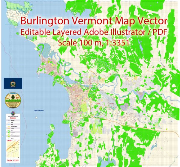
Burlington, Vermont, is a charming city known for its picturesque setting on the shores of Lake Champlain. The city’s street layout is organized in a grid pattern, making navigation relatively straightforward. Here are some of the principal streets and roads in Burlington:
- Church Street: Church Street is a pedestrian-only street in the heart of downtown Burlington. Lined with shops, restaurants, and cafes, it’s a bustling area and a popular destination for both locals and visitors.
- Main Street: Running parallel to Church Street, Main Street is a major thoroughfare in Burlington. It provides access to various neighborhoods and key locations in the city.
- Battery Street: Battery Street runs along the waterfront, offering scenic views of Lake Champlain. It’s a key route for accessing the waterfront parks and attractions.
- Pearl Street: This street intersects with Church Street and runs through the Old North End neighborhood. It’s known for its historic architecture and diverse community.
- North Avenue: North Avenue is a major north-south route in Burlington, connecting the New North End to downtown. It provides access to residential areas, schools, and parks.
- South Winooski Avenue: This avenue runs through the South End of Burlington and is known for its vibrant arts scene, with numerous galleries and studios.
- Colchester Avenue: Colchester Avenue runs along the eastern edge of the University of Vermont (UVM) campus. It’s an important route for accessing the university and the UVM Medical Center.
- Shelburne Road (Route 7): Shelburne Road is a major north-south route that connects Burlington to the neighboring town of Shelburne. It’s lined with commercial establishments and provides access to the Shelburne Museum.
- Riverside Avenue: Riverside Avenue is located in the New North End and runs along the Winooski River. It provides access to parks and residential areas.
- Cherry Street: Cherry Street is another street in downtown Burlington, connecting the waterfront to the city center. It features a mix of businesses, including shops and restaurants.
These streets form the backbone of Burlington’s road network, providing access to various neighborhoods, businesses, and attractions. Keep in mind that Burlington’s downtown area is very walkable, and many of the city’s main attractions are concentrated in this area.


 Author: Kirill Shrayber, Ph.D. FRGS