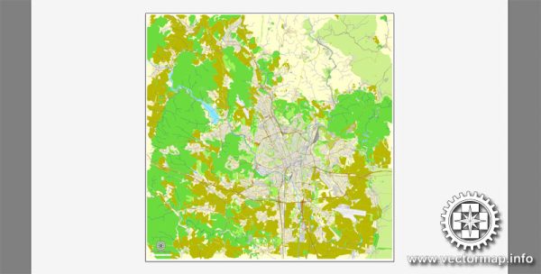
Brno, the second-largest city in the Czech Republic, is known for its rich history, beautiful architecture, and vibrant culture. The city’s layout includes a network of streets and roads that connect its various neighborhoods, landmarks, and attractions. A general description of some principal streets and roads in Brno. Please verify this information from a current and reliable source.
- Šilingrovo náměstí (Šilingrovo Square):
- A central square in Brno with a lively atmosphere, surrounded by historic buildings and popular cafes.
- Masarykova ulice (Masaryk Street):
- One of the main thoroughfares in Brno, named after the first Czechoslovak president, Tomáš Garrigue Masaryk. It runs through the city center and is lined with shops, restaurants, and historical landmarks.
- Náměstí Svobody (Freedom Square):
- The main square in Brno, surrounded by colorful baroque buildings, including the Old Town Hall. It’s a popular gathering place and hosts various events and markets.
- Česká ulice (Czech Street):
- A pedestrian street known for its shops, boutiques, and cafes. It’s a great place for shopping and leisurely walks.
- Veveří ulice (Veveří Street):
- This street leads to the Veveří Castle and is lined with trees. It provides a scenic route to one of Brno’s historical landmarks.
- Hlavní nádraží (Main Train Station):
- The main railway station in Brno, an important transportation hub connecting the city with other major European cities.
- D1 Highway:
- The D1 is a major highway connecting Brno to Prague, the capital of the Czech Republic, and other cities. It plays a crucial role in the country’s transportation network.
- Údolní ulice (Údolní Street):
- A street running along the Svratka River, offering picturesque views and access to recreational areas.
- Komenského náměstí (Komenský Square):
- A square named after the Czech educator and philosopher Jan Amos Komenský (Comenius), featuring a monument in his honor.
Remember that street names and infrastructure can change, so it’s advisable to consult a current map or use online navigation services for the latest information on Brno’s streets and roads.


 Author: Kirill Shrayber, Ph.D. FRGS