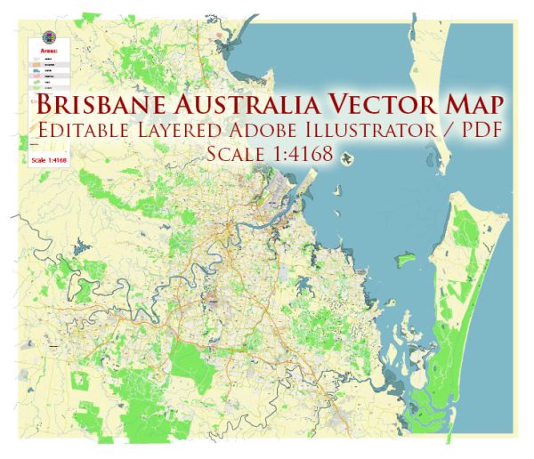
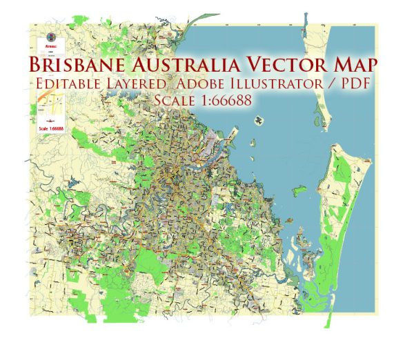
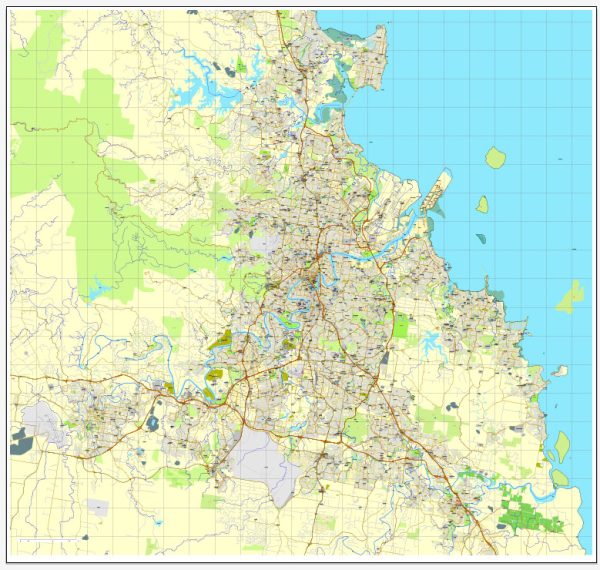
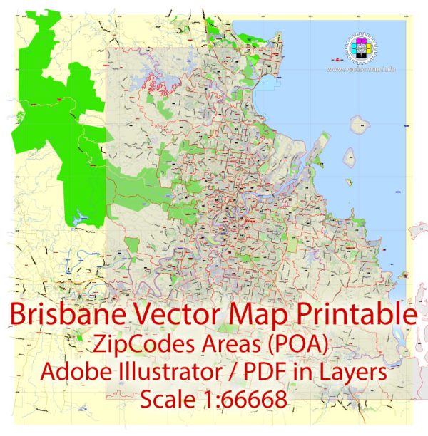
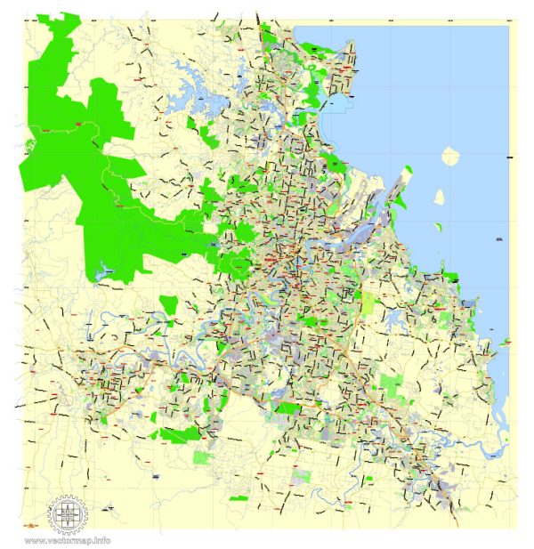
Brisbane, the capital of Queensland, Australia, has a well-planned road network with a mix of major streets, roads, and highways. Here are some of the principal streets and roads in and around Brisbane:
- Queen Street: Queen Street is one of Brisbane’s major streets, located in the central business district (CBD). It is known for its shopping precinct, including the Queen Street Mall, and is a popular spot for pedestrians.
- George Street: Another important street in the CBD, George Street is home to various government buildings, including the Queensland Parliament House and the Treasury Casino.
- Ann Street: This street runs parallel to Queen Street and is also a significant thoroughfare in the CBD. Ann Street features a mix of commercial, retail, and dining establishments.
- Adelaide Street: Adelaide Street is situated in the heart of Brisbane and intersects with Queen Street. It is home to various businesses, shops, and office buildings.
- Riverside Expressway: This elevated expressway runs along the Brisbane River and connects the CBD with the southern and northern suburbs. It offers stunning views of the city skyline.
- Coronation Drive: Following the Brisbane River on the southern side, Coronation Drive is a major road that connects the CBD with the western suburbs, including Toowong and Indooroopilly.
- Clem Jones Tunnel (Clem7): This tunnel is an important underground road link in Brisbane, connecting the Woolloongabba area in the south to Bowen Hills in the north.
- Story Bridge: A prominent landmark, Story Bridge connects Fortitude Valley to Kangaroo Point and is a key river crossing in Brisbane.
- Pacific Motorway (M3): The Pacific Motorway is a major highway that connects Brisbane to the Gold Coast in the south and the Sunshine Coast in the north.
- Inner City Bypass (ICB): This road provides a quick link between the western suburbs and the northern suburbs, bypassing the CBD.
- Old Cleveland Road: Running through the eastern suburbs, Old Cleveland Road is a significant arterial road connecting Coorparoo, Carindale, and Capalaba.
- Gympie Arterial Road: Located in the northern suburbs, Gympie Arterial Road is an important route connecting the Gateway Motorway to the Bruce Highway.
These are just a few examples, and Brisbane has a comprehensive network of streets and roads facilitating transportation throughout the city and its surrounding areas. Keep in mind that road networks can evolve over time, so it’s a good idea to check for the latest maps and navigation information for the most up-to-date details.

 Author: Kirill Shrayber, Ph.D. FRGS