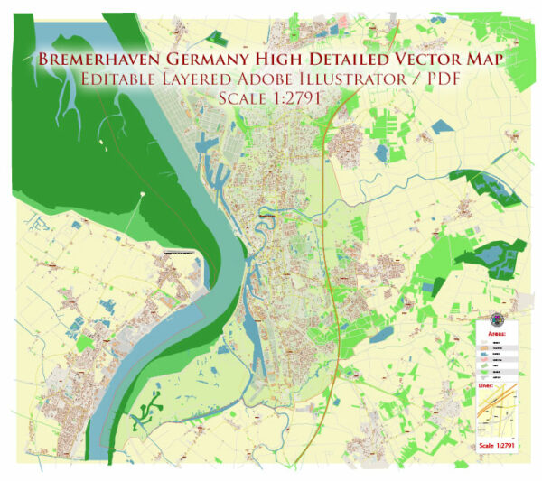
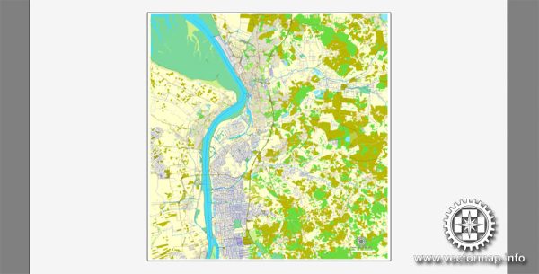
Street and road in Bremerhaven, Germany, an overview of some principal streets and roads in the city based on general information.
- Bürgermeister-Smidt-Straße: This is one of the main streets in Bremerhaven and serves as a central thoroughfare, lined with shops, restaurants, and businesses.
- Havenwelten: This area includes several streets and promenades along the waterfront, featuring attractions like the Klimahaus and the German Emigration Center. The streets here offer a mix of cultural, recreational, and commercial spaces.
- Am Alten Hafen: This street runs along the Old Harbor area, offering a charming atmosphere with views of historic ships and waterfront activities.
- Elbinger Platz: A central square in Bremerhaven surrounded by various shops, cafes, and the Columbus Center, a shopping mall.
- Grashoffstraße: This street is known for its cultural institutions, including the Stadttheater Bremerhaven (City Theater), making it a hub for arts and entertainment.
- Im Geestacker: A road that passes through residential and commercial areas, contributing to the city’s transportation network.
- Hafenstraße: As the name suggests, this street is likely to be near the harbor area, connecting various parts of the port facilities.


 Author: Kirill Shrayber, Ph.D. FRGS