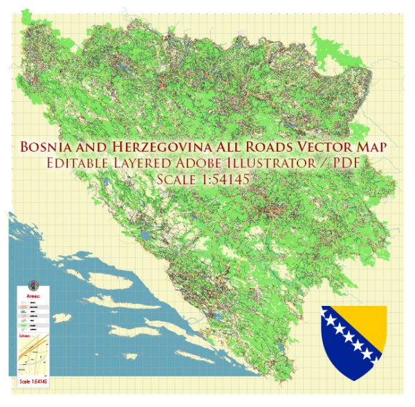
Bosnia and Herzegovina is a country located in Southeast Europe on the Balkan Peninsula. It is known for its diverse culture, rich history, and stunning natural landscapes. The country is divided into two entities: the Federation of Bosnia and Herzegovina and the Republika Srpska. Here are some of the main cities and towns in Bosnia and Herzegovina:
- Sarajevo:
- The capital and largest city of Bosnia and Herzegovina.
- Known for its historical significance, including being the site of the assassination of Archduke Franz Ferdinand in 1914, triggering World War I.
- Features a mix of Ottoman, Austro-Hungarian, and socialist architecture.
- Rich cultural scene with museums, theaters, and vibrant street life.
- Banja Luka:
- The second-largest city and the de facto capital of the Republika Srpska entity.
- Situated on the Vrbas River.
- Known for its Orthodox Christian heritage and historical landmarks.
- Mostar:
- Famous for the iconic Stari Most (Old Bridge) spanning the Neretva River, a symbol of the city.
- Blend of Ottoman and Austro-Hungarian architecture.
- Diverse cultural influences and a thriving arts scene.
- Tuzla:
- Located in the northeastern part of Bosnia and Herzegovina.
- Known for its salt lakes and historical significance.
- Home to the University of Tuzla.
- Zenica:
- An industrial city situated on the Bosna River.
- Known for its steel production and mining activities.
- Features historical sites and cultural attractions.
- Bihac:
- Located in the northwestern part of the country.
- Situated on the banks of the Una River.
- Known for its medieval fortress and natural beauty.
- Prijedor:
- Located in the Republika Srpska entity.
- Known for its historical sites, including Kozara National Park.
- A city with a mix of cultural influences.
- Visoko:
- Known for the mysterious and controversial Bosnian pyramids, which have been subject to archaeological debates.
- Features medieval fortresses and historical sites.
- Brčko:
- A city in the northeastern part of the country.
- Administered as a neutral district and not part of either entity.
- A key economic and transportation hub.
Each of these cities and towns in Bosnia and Herzegovina offers a unique blend of history, culture, and natural beauty, contributing to the overall diversity and charm of the country.


 Author: Kirill Shrayber, Ph.D. FRGS