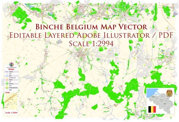
Binche, located in the Hainaut province of Belgium, is known for its rich cultural heritage and traditional events, particularly the Binche Carnival, which is recognized by UNESCO as a Masterpiece of the Oral and Intangible Heritage of Humanity. While Binche may not be renowned for its architectural landmarks on the same scale as some other Belgian cities, it does have several notable buildings and landmarks that reflect its history and charm. Here are a few:
- Binche Belfry (Beffroi de Binche): The belfry of Binche is a UNESCO World Heritage Site and part of the Belfries of Belgium and France. This medieval tower, dating back to the 14th century, is an iconic symbol of the city. The belfry stands tall in the Grand Place and offers panoramic views of the surroundings.
- Grand Place (Grote Markt): The central square of Binche, known as the Grand Place, is surrounded by charming buildings and is the focal point for various events and festivals, especially during the Binche Carnival. The architecture around the square is a mix of styles, reflecting different periods of the city’s history.
- Saint-Ursmer Collegiate Church: This Gothic-style church is dedicated to Saint Ursmer and is located in the heart of Binche. The church has a rich history and features impressive stained glass windows and architectural details. It is a significant religious and historical site in the city.
- Town Hall (Hôtel de Ville): Binche’s Town Hall is a noteworthy building with a façade that combines elements of Gothic and Renaissance architecture. The building, located on the Grand Place, adds to the overall historical ambiance of the city center.
- Binche Castle (Château de Binche): The Binche Castle, also known as the Castle of the Counts of Hainaut, is a historical fortress that has undergone various renovations over the centuries. While not open to the public on a regular basis, the castle contributes to the city’s historical character.
- Folklore Museum (Musée International du Carnaval et du Masque): While not a historic building, the Folklore Museum is housed in a modern structure and is dedicated to the city’s famous Binche Carnival. The museum showcases the rich tradition of carnival masks and costumes, providing insights into the cultural heritage of Binche.
These landmarks collectively contribute to the cultural and historical tapestry of Binche, offering visitors a glimpse into the city’s past and its unique traditions, especially the renowned Binche Carnival.


 Author: Kirill Shrayber, Ph.D. FRGS