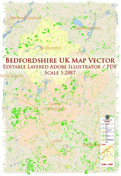
The principal streets and roads in Bedfordshire, UK, a general overview based on common features of towns and counties in the UK.
Bedfordshire is a county located in the East of England, and its major towns include Bedford, Luton, and Dunstable. Some of the principal roads and streets in Bedfordshire may include:
- M1 Motorway: The M1 runs through the eastern part of Bedfordshire, providing a major north-south route.
- A6: This road runs through the county, connecting Bedford and Luton. It is a historic route and an important road for local transportation.
- A421: Connecting Bedford with Milton Keynes, the A421 is a significant east-west route in the county.
- A505: Passing through Dunstable and connecting to Luton, the A505 is an important road in the southern part of the county.
- A428: Running from the A421 near Bedford to the A1 at St Neots, the A428 serves as another east-west route.
- A6: Passing through Bedford, the A6 is a major road that connects Luton and Bedford.
- A1(M): The A1(M) motorway forms part of the eastern boundary of Bedfordshire, providing a major north-south route.
In addition to these major roads, each town within Bedfordshire will have its own network of streets and roads. For specific and up-to-date information on principal streets and roads in Bedfordshire, it is recommended to consult a local map or use online mapping services like Google Maps. Local authorities and transportation agencies may also provide detailed information on road networks in the area.


 Author: Kirill Shrayber, Ph.D. FRGS