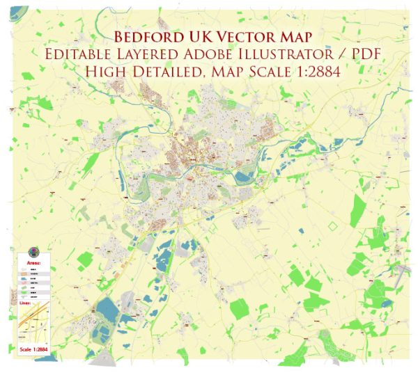
A general description of some principal streets and roads in Bedford, UK. Here are some key streets and roads in Bedford:
- High Street: The High Street is typically the central and busiest street in many towns, including Bedford. It often features a mix of shops, restaurants, and local businesses.
- St. Paul’s Square: This is a square in the town center surrounded by shops, cafes, and historic buildings.
- Silver Street: A street known for its shops and historical architecture.
- Midland Road: Connecting the town center to the railway station, Midland Road is an important route for commuters and visitors.
- River Street: As the name suggests, this street runs alongside the River Great Ouse, providing scenic views.
- Goldington Road: Heading northeast from the town center, this road passes through residential areas.
- Tavistock Street: Another street in the town center with shops, offices, and local amenities.
- Kimbolton Road: Leading out of Bedford, Kimbolton Road is a major route connecting the town to nearby areas.
- London Road: This road typically connects Bedford to nearby towns and eventually leads to London.
- A428 Bedford Western Bypass: A major road bypassing the western side of Bedford, facilitating traffic flow around the town.
- A6 Bedford Southern Bypass: This road provides a bypass to the south of Bedford, easing congestion and improving transportation.
Remember that Bedford is a dynamic town, and urban developments or changes in infrastructure may impact the street layout and road network. For the most up-to-date information, consider checking local maps, websites, or contacting local authorities.


 Author: Kirill Shrayber, Ph.D. FRGS