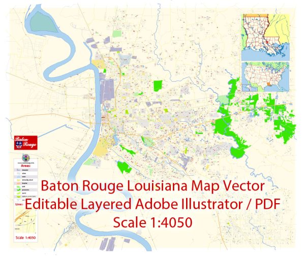
Baton Rouge, the capital city of Louisiana, is known for its vibrant culture and diverse neighborhoods. Some principal streets and roads in Baton Rouge.
- Interstate 10 (I-10): Running east-west, I-10 is a major interstate that passes through Baton Rouge. It connects the city to New Orleans in the east and Lafayette and beyond to the west.
- Interstate 12 (I-12): To the north of Baton Rouge, I-12 is an east-west interstate that provides an additional route for travelers.
- Airline Highway (US Highway 61): Also known as Airline Hwy, US 61 is a major north-south road that runs through Baton Rouge. It serves as a key commercial and retail corridor.
- Florida Boulevard (US Highway 190): Running east-west, US 190, or Florida Blvd, is a major arterial road in Baton Rouge. It passes through various neighborhoods and commercial areas.
- Perkins Road: Perkins Road is a significant east-west road that stretches across Baton Rouge, passing through residential areas, shopping districts, and the LSU campus.
- College Drive: College Drive is an important road in the city, connecting the downtown area with the LSU campus. It hosts various businesses, restaurants, and shopping centers.
- Government Street: Government Street runs east-west through Baton Rouge and is known for its historical significance. It passes through Mid City Baton Rouge and has seen revitalization efforts in recent years.
- Siegen Lane: Located in the southern part of the city, Siegen Lane is a major commercial corridor with shopping centers, restaurants, and businesses.
- Bluebonnet Boulevard: Bluebonnet Blvd is a significant north-south road that runs through the southern part of Baton Rouge, connecting several residential and commercial areas.
- Nicholson Drive: Nicholson Drive is an important road, especially for those traveling to and from Louisiana State University (LSU). It runs parallel to the LSU campus and provides access to various student housing and amenities.
These are just a few examples, and Baton Rouge has a network of roads connecting its diverse neighborhoods and districts. Always refer to the latest maps or navigation systems for the most up-to-date information.


 Author: Kirill Shrayber, Ph.D. FRGS