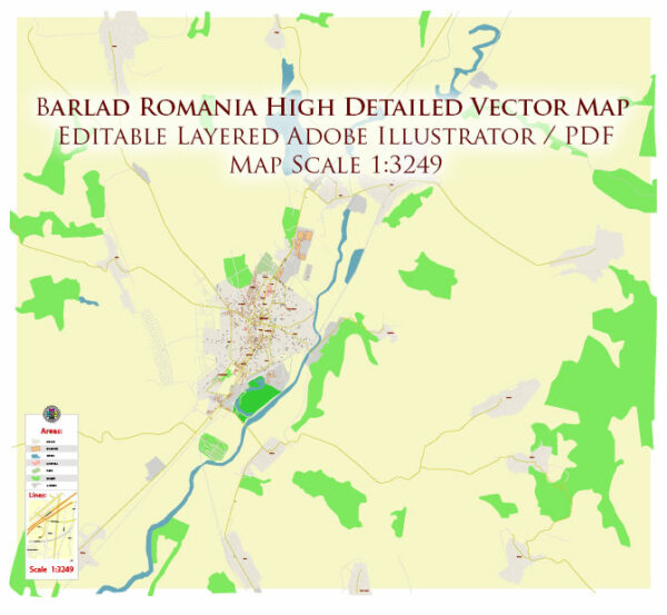
A general overview of the history and transportation infrastructure of Bârlad, Romania.
Vectormap.Net provide you with the most accurate and up-to-date vector maps in Adobe Illustrator, PDF and other formats, designed for editing and printing. Please read the vector map descriptions carefully.
History:
- Ancient History: Bârlad has a rich history dating back to ancient times. It was likely inhabited during the Dacian period, and later became part of the Roman Empire. Archaeological findings suggest a continuity of settlement through various historical periods.
- Medieval Period: During the medieval period, the region experienced various influences, including Hungarian, Ottoman, and Polish. Bârlad played a role in trade and commerce, contributing to its development as a regional center.
- 19th and 20th Centuries: Bârlad witnessed significant growth during the 19th and 20th centuries. The city became an important cultural and economic center, known for its schools, cultural institutions, and industrial activities.
- World Wars and Communist Era: Bârlad, like much of Romania, faced challenges during World War I and II. Following World War II, Romania came under communist rule. The communist era brought changes to the city’s landscape, with industrialization and social restructuring.
- Post-Communist Period: After the fall of the communist regime in 1989, Romania underwent political and economic transformations. Bârlad, like other cities, experienced changes in its governance, economy, and infrastructure.
Transportation Infrastructure:
- Roads: Bârlad is connected to the national road network, facilitating road transportation. Major roads connect the city to other urban centers in Romania. Road transport is crucial for both passenger and freight movement.
- Railways: The city has a railway station, contributing to the overall transportation network. Rail transport is important for both passengers and the shipment of goods.
- Public Transportation: Bârlad has a local public transportation system, including buses, to facilitate movement within the city and surrounding areas.
- Airports: While Bârlad itself may not have a major airport, there are airports in larger nearby cities. The Iași International Airport is the closest major airport, providing air connectivity to the region.
- Infrastructure Development: Romania, including Bârlad, has been investing in infrastructure development to improve transportation links. This includes upgrades to roads, railways, and other transport-related facilities.
For the most current and specific information on Bârlad’s history and transportation infrastructure, it is recommended to refer to local historical archives, city websites, and official transportation authorities.


 Author: Kirill Shrayber, Ph.D.