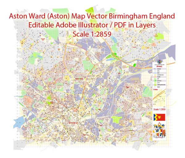
Aston is an area in Birmingham, UK. Aston is a district and a ward in the city, and it’s known for landmarks such as Aston Hall and Villa Park, the home stadium of Aston Villa Football Club. Below are some of the key streets and roads in the Aston area:
- Aston Hall Road: This road is located near Aston Hall, a Jacobean-style mansion, and is a prominent feature in the area.
- Lozells Road: Lozells is a neighboring district to Aston, and Lozells Road is one of the important roads in the vicinity.
- Witton Lane: This road runs near Villa Park, the football stadium of Aston Villa.
- Trinity Road: Another road near Villa Park, connecting the stadium to the surrounding areas.
- Aston Expressway (A38): This major road connects Birmingham city center to the Aston area.
- Rocky Lane: A road running through the Aston area.
- Lichfield Road: This road connects Aston to other parts of Birmingham.
- Aston Street: An important street within the Aston district.
Please note that these are just some of the principal streets and roads, and there are many more within the Aston ward. Additionally, street names and configurations may change over time, so it’s advisable to check with local sources for the most up-to-date information on the streets and roads in the Aston area. You can refer to local maps, city council websites, or contact local authorities for detailed and current information.


 Author: Kirill Shrayber, Ph.D. FRGS