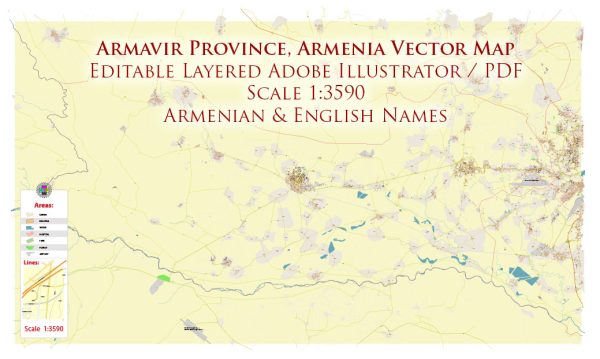
Armavir, Armenia, some general information.
Armavir is a town in the Armavir Province of Armenia. Like many towns and cities, Armavir has a network of streets and roads that serve as the main arteries for transportation. Some key features you might find in the town include:
- Central Square: Many towns have a central square that serves as a focal point for various activities and events. This square might be surrounded by important government buildings, shops, and other facilities.
- Main Avenue or Boulevard: Larger towns often have a central avenue or boulevard that runs through the heart of the town, featuring shops, restaurants, and other businesses.
- Government Buildings: Armavir, being a provincial capital, likely has government offices, administrative buildings, and possibly a city hall located on prominent streets.
- Historical and Cultural Sites: Some streets may lead to or pass by historical or cultural landmarks, such as churches, museums, or other points of interest.
- Residential Areas: Armavir is likely to have various residential neighborhoods with their own streets and roads, providing access to homes and local amenities.
To get the most accurate and up-to-date information on the principal streets and roads in Armavir, including their names and characteristics, I recommend checking with local authorities, using online maps, or consulting recent travel guides. Online mapping services like Google Maps can provide detailed information about the streets and roads in Armavir and their current status.


 Author: Kirill Shrayber, Ph.D.