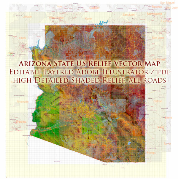
Arizona, a southwestern state in the United States, has an extensive network of roads and railroads that facilitate transportation within the state and connect it to neighboring regions. Here’s a brief description of the principal roads and railroads in Arizona:
Principal Roads:
- Interstate Highways:
- I-10: Running east-west, I-10 connects major cities such as Phoenix and Tucson and continues across the southern border of Arizona.
- I-17: This north-south interstate connects Phoenix to Flagstaff, passing through scenic landscapes.
- U.S. Highways:
- US-60: Running east-west, US-60 connects cities like Phoenix, Tempe, and Mesa.
- US-93: Connecting Phoenix to Las Vegas, US-93 is a major north-south route.
- US-89: This highway runs north-south through the state, passing through cities like Flagstaff.
- State Highways:
- Arizona has an extensive system of state highways, such as State Route (SR) 51, SR-87, SR-89, SR-101, and others, connecting various cities and regions.
- Scenic Drives:
- Arizona is known for its scenic drives, including the Apache Trail, the Coronado Trail, and the Saguaro National Park Loop Drive, offering breathtaking views of the desert landscapes.
Railroads:
- Union Pacific Railroad:
- Union Pacific operates a major freight railroad network in Arizona, connecting the state to the broader rail network of the United States.
- BNSF Railway:
- BNSF is another significant freight railroad company that operates in Arizona, facilitating the transportation of goods and commodities.
- Amtrak:
- Amtrak provides passenger rail service in Arizona. The Southwest Chief route serves cities like Flagstaff and Winslow, connecting them to major cities across the country.
- Valley Metro Rail:
- Valley Metro Rail is a light rail system serving the Phoenix metropolitan area, providing public transportation options within the city and neighboring areas.
- Tucson Streetcar:
- The Sun Link Tucson Streetcar is a modern streetcar system in Tucson, connecting various neighborhoods and the University of Arizona.
- Arizona Eastern Railway:
- Arizona Eastern Railway operates in the southeastern part of the state, supporting industrial and freight transportation needs.
These transportation networks play a crucial role in supporting the economy and connecting communities across Arizona, facilitating the movement of people and goods throughout the state and beyond. Keep in mind that the specifics of the road and railroad networks may evolve over time due to ongoing infrastructure projects and developments.


 Author: Kirill Shrayber, Ph.D. FRGS