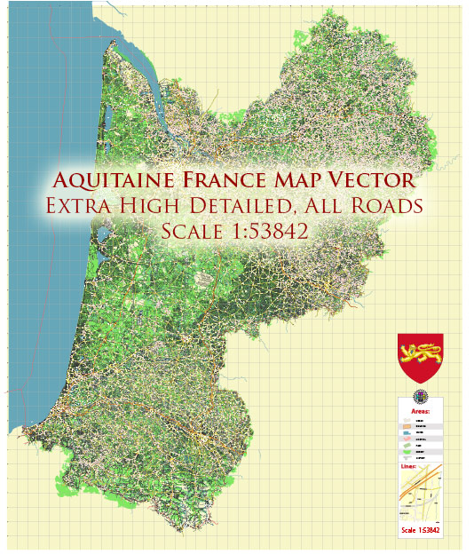
The Aquitaine region is located in southwestern France. Here is a general description of the principal waterways and railroads in the Aquitaine region:
Waterways:
- Garonne River:
- The Garonne River is a major waterway in the Aquitaine region. It flows through the city of Bordeaux, one of the region’s largest cities, before continuing into the Atlantic Ocean.
- The river is navigable, and its estuary, known as the Gironde Estuary, is an important water route for maritime traffic.
- Dordogne River:
- The Dordogne River is another significant watercourse in Aquitaine. It flows through the eastern part of the region, eventually joining the Garonne River near Bordeaux.
- The Dordogne Valley is known for its scenic landscapes and picturesque towns.
- Atlantic Coast:
- The coastline along the Bay of Biscay and the Atlantic Ocean is also a vital element in Aquitaine’s transportation network, supporting ports and maritime activities.
Railroads:
- Main Railway Lines:
- Bordeaux is a major railway hub in the Aquitaine region, with several main railway lines converging in the city. These lines connect Bordeaux with other major cities in France and neighboring countries.
- High-Speed Rail (TGV):
- The high-speed train network, known as the TGV (Train à Grande Vitesse), serves Bordeaux. The LGV Atlantique high-speed rail line connects Bordeaux with Paris and other cities.
- Regional Rail Services:
- The Aquitaine region is served by regional rail services that connect smaller towns and cities. These services play a crucial role in local transportation.
- Bordeaux-Saint-Jean Station:
- Bordeaux-Saint-Jean is the main railway station in Bordeaux, serving as a central hub for both domestic and international train services.
- Transport Infrastructure Improvements:
- Over the years, there have been ongoing efforts to improve and modernize rail infrastructure in the region, including the development of high-speed rail connections to enhance transportation efficiency.


 Author: Kirill Shrayber, Ph.D. FRGS