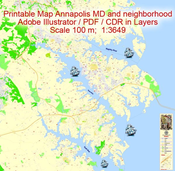
Annapolis, Maryland, is the capital of the state and is located on the Chesapeake Bay, making water resources and bridges important elements of its infrastructure.
Water Resources:
- Chesapeake Bay: Annapolis is situated on the western shore of the Chesapeake Bay, the largest estuary in the United States. The Bay is a vital water resource for the region, supporting a diverse ecosystem and providing opportunities for recreation and tourism.
- Severn River: The Severn River flows through Annapolis, adding to the city’s waterfront charm. The river is navigable and has marinas and docks that contribute to the city’s maritime character.
- Ego Alley: This is a famous waterway in downtown Annapolis, where boats and yachts often dock along the City Dock area. It’s a popular spot for locals and visitors to stroll along and admire the boats.
Bridges:
- Chesapeake Bay Bridge: While not directly within Annapolis, the Chesapeake Bay Bridge is a crucial structure for connecting the eastern and western shores of Maryland. It spans the Chesapeake Bay and is a major transportation route for the region.
- Spa Creek Drawbridge: Located in downtown Annapolis, this drawbridge spans Spa Creek, providing a connection between the historic district and the Eastport neighborhood. It’s a bascule bridge, allowing it to lift and allow taller boats to pass through.
- Naval Academy Bridge: This bridge connects the U.S. Naval Academy with downtown Annapolis, spanning College Creek. It’s an important route for access to the Naval Academy and the surrounding area.
- Route 450 Bridge: Crossing the Severn River, this bridge connects Annapolis with areas to the west. It plays a significant role in regional transportation.
The combination of water resources and bridges contributes to Annapolis’s maritime identity and provides residents and visitors with both practical infrastructure and scenic beauty. The waterfront, with its historic charm and maritime activities, is a central part of the city’s culture and economy.


 Author: Kirill Shrayber, Ph.D. FRGS