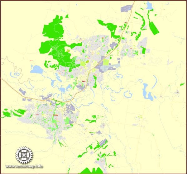
Albury-Wodonga, often referred to as the “Twin Cities,” is a unique Australian urban area located on the border between the states of New South Wales and Victoria. While not necessarily known for iconic landmarks on a global scale, the region boasts several notable buildings and landmarks that hold significance for the local community.
- Hume Dam:
- The Hume Dam is a significant engineering feat located on the Murray River, serving as a major water storage facility. It not only plays a crucial role in water management but also offers picturesque views and recreational opportunities.
- Albury Railway Station:
- The Albury Railway Station is a historic building that reflects the city’s railway heritage. Its architecture, dating back to the late 19th century, adds charm to the cityscape. The station has been renovated over the years, preserving its historical character.
- Monument Hill:
- Monument Hill provides panoramic views of Albury and Wodonga and is home to the Monument Hill War Memorial. The memorial commemorates those who served in various conflicts, including World War I and World War II.
- Sumsion Gardens:
- Sumsion Gardens is a beautiful green space along the Murray River, featuring well-maintained gardens, walking paths, and recreational areas. It is a popular spot for locals and visitors alike, offering a peaceful retreat in the heart of the city.
- Albury Art Gallery:
- The Albury Art Gallery showcases a diverse collection of contemporary and traditional Australian art. The building itself is an architectural highlight, providing a cultural hub for residents and tourists interested in the arts.
- Albury Botanic Gardens:
- The Albury Botanic Gardens, established in the late 19th century, are a serene and well-maintained space with a variety of plant collections, walking paths, and a conservatory. The gardens offer a peaceful escape within the urban environment.
While Albury-Wodonga may not have globally renowned landmarks, the region’s charm lies in its natural beauty, historical sites, and community-oriented spaces. It’s always a good idea to check for updates or new developments for the latest information on notable landmarks in the area.


 Author: Kirill Shrayber, Ph.D. FRGS