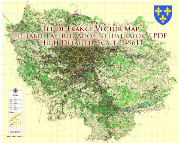
The Île-de-France region in France, often referred to as the “Paris Region,” is the most populous administrative region in the country and encompasses the capital city, Paris. While Île-de-France is not known for extensive natural waterways, it has a well-developed network of railroads and transportation infrastructure.
Waterways: The principal waterway in Île-de-France is the Seine River, which flows through the heart of Paris. The Seine is a major transportation route and has historically played a crucial role in the economic development of the region. It is navigable and supports both passenger and freight traffic. Additionally, the Canal Saint-Martin and the Canal Saint-Denis are artificial canals that contribute to the region’s water transportation network.
Railroads: Île-de-France has an extensive and efficient railroad system, largely focused on the centralization of Paris as a major transportation hub. Some key features of the railroad network include:
- Paris Métro (Subway): The Paris Métro is one of the densest and most extensive subway systems in the world. It serves not only the city of Paris but also extends into the surrounding suburbs, providing a vital means of public transportation for residents and visitors.
- RER (Réseau Express Régional): The RER is a regional commuter train network that connects the suburbs to the city center of Paris. It consists of several lines labeled A, B, C, D, and E. These lines provide rapid transit services across the region and facilitate daily commuting.
- SNCF Mainline Railways: The Société Nationale des Chemins de Fer Français (SNCF) operates the mainline railways connecting Paris to other regions in France and beyond. The main railway stations in Paris include Gare du Nord, Gare de l’Est, Gare de Lyon, Gare Montparnasse, and Gare Saint-Lazare.
- High-Speed Rail (TGV): The TGV (Train à Grande Vitesse) network connects Paris to major cities across France and Europe, providing high-speed rail services. Paris has several TGV stations, with Gare de Lyon and Gare Montparnasse being major hubs for high-speed trains.
The combination of these waterways and railroads makes Île-de-France a well-connected region, facilitating both local transportation and connections to other parts of France and Europe. These transportation networks play a crucial role in supporting the economic, cultural, and social activities of the region.


 Author: Kirill Shrayber, Ph.D.