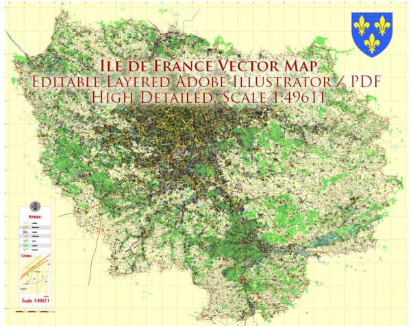
Île-de-France is the administrative region that surrounds the city of Paris, France. It is the most populous administrative region in the country and is the economic and cultural center of France. The region is characterized by a dense network of roads and railroads that connect the city of Paris with its suburbs and neighboring regions. Here’s a brief description of the principal roads and railroads in Île-de-France:
Roads:
- Boulevard Périphérique (Peripheral Boulevard):
- The Boulevard Périphérique is a ring road that encircles the city of Paris, separating the central city from its suburbs.
- It is a major route for traffic moving around and through Paris.
- A1 Autoroute:
- This is one of the main highways connecting Paris to the north of France, including Charles de Gaulle Airport.
- A6 Autoroute:
- A major highway connecting Paris to the south, towards Lyon and the French Riviera.
- A4 Autoroute:
- Links Paris to the east, connecting it with cities like Metz and Strasbourg.
- A13 Autoroute:
- Connects Paris to the northwest, leading to cities such as Rouen and the coast of Normandy.
- A10 Autoroute:
- Extends southwest from Paris towards Orléans and Bordeaux.
- N118:
- A major road connecting the western suburbs of Paris, passing through the Forest of Meudon.
- N104 Francilienne:
- An outer ring road, supplementing the Boulevard Périphérique and connecting various suburbs.
Railroads:
- Paris Métro:
- The extensive subway system serves the city and surrounding suburbs, making it a crucial part of the public transportation network.
- RER (Réseau Express Régional):
- The RER is a network of express trains connecting Paris to its suburbs and surrounding regions. Lines A, B, C, D, and E serve different parts of Île-de-France.
- SNCF Transilien:
- The Transilien is a suburban rail network operated by SNCF, connecting Paris to its suburbs and neighboring regions.
- High-Speed Rail (TGV):
- Île-de-France is well-connected to other major French cities through high-speed TGV trains, with major stations like Gare de Lyon and Gare Montparnasse serving as hubs.
- Intercity Rail:
- Traditional intercity trains connect Paris to various cities in France and beyond.
The combination of these roadways and rail networks plays a crucial role in facilitating transportation within Île-de-France and connecting the region to the rest of France.


 Author: Kirill Shrayber, Ph.D.