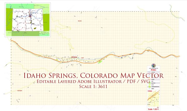
Street in Idaho Springs, Colorado, a general overview of the town’s layout and some principal streets and roads that are typically found in similar towns.
Idaho Springs is a small town in Clear Creek County, Colorado, and it’s situated along Interstate 70. Some of the principal streets and roads in and around Idaho Springs may include:
- Interstate 70 (I-70): This is a major east-west highway that passes through Idaho Springs, providing a key transportation route through the Rocky Mountains.
- Colorado Boulevard: This street often serves as a main road in town and may have various shops, restaurants, and businesses.
- Miner Street: As in many historic Colorado towns, Miner Street is often a central street that may feature historic buildings, shops, and attractions.
- 1st Avenue, 2nd Avenue, etc.: Like in many towns, numbered avenues may radiate out from a central point, providing a grid-like layout.
- Bridal Veil Falls Road: This road may lead to Bridal Veil Falls, a local natural attraction.
- Virginia Canyon Road: This road leads to historic sites and may offer scenic views of the surrounding area.
To get the most accurate and up-to-date information on streets and roads in Idaho Springs, you may want to consult local maps, the town’s official website, or contact the local municipal offices or chamber of commerce. Additionally, navigation apps and online mapping services can provide real-time information on streets and directions.


 Author: Kirill Shrayber, Ph.D.