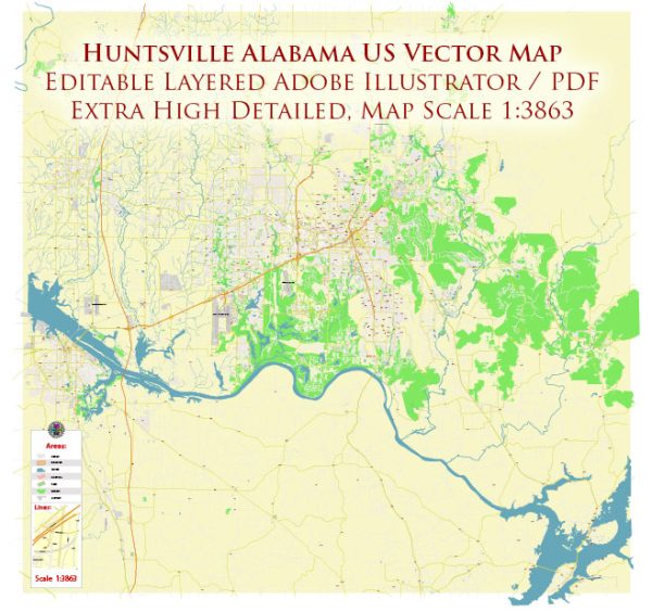
A general description of Huntsville, Alabama’s principal transportation system.
Huntsville, Alabama, has a transportation system that includes various modes of transportation to serve the needs of residents and visitors. Key components of the transportation system in Huntsville include:
- Roads and Highways:
- Huntsville is served by a network of roads and highways, including major routes such as Interstate 565 and U.S. Highway 231/431.
- The road infrastructure is designed to facilitate local commuting as well as regional connectivity.
- Public Transit:
- Huntsville has a public transit system known as “Huntsville Shuttle” or “Shuttle Bus,” which provides bus services across the city and some surrounding areas.
- The transit system is operated by the Huntsville Department of Parking and Public Transit.
- Airport:
- Huntsville International Airport (HSV) is the primary airport serving the region. It accommodates both domestic and international flights, making it a significant transportation hub.
- The airport plays a crucial role in facilitating business, tourism, and cargo transportation.
- Rail Transportation:
- The city is served by freight railroads, contributing to the transportation of goods and materials.
- There may be passenger rail services as well, depending on the regional and national rail networks.
- Cycling and Pedestrian Infrastructure:
- Efforts have been made to enhance cycling and pedestrian infrastructure in Huntsville, including bike lanes, sidewalks, and recreational trails.
- Car-sharing and Ride-Sharing:
- Car-sharing services like Uber and Lyft operate in Huntsville, providing additional transportation options for residents and visitors.
- Intermodal Transportation:
- The city may have intermodal transportation facilities that facilitate the transfer of goods between different modes of transportation, such as truck-to-rail or rail-to-air.
- Urban Planning Initiatives:
- Huntsville may have ongoing urban planning initiatives aimed at improving transportation efficiency, reducing congestion, and promoting sustainable transportation options.
To get the most current and detailed information about Huntsville’s transportation system, it is recommended to check with local authorities, transportation departments, or official city websites for the latest updates and developments.


 Author: Kirill Shrayber, Ph.D. FRGS