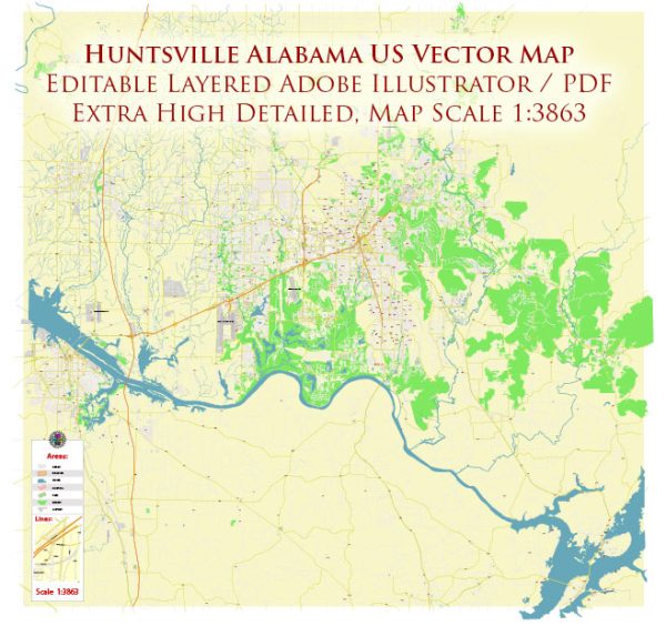
Huntsville, Alabama’s streets and roads, a general overview of some principal streets and roads in Huntsville based on historical data.
- University Drive: One of the major east-west corridors in Huntsville, University Drive is lined with businesses, shopping centers, and restaurants. It connects several important areas, including the University of Alabama in Huntsville.
- Memorial Parkway (U.S. Highway 231/431): This is a major north-south route that runs through the heart of Huntsville. Memorial Parkway is a significant commercial and retail corridor with numerous businesses along its length.
- I-565 (John C. Calhoun Expressway): This interstate highway connects Huntsville to Interstate 65 and facilitates transportation to and from the city.
- Governors Drive: Another east-west route, Governors Drive passes through the downtown area and connects to various neighborhoods and commercial districts.
- Jordan Lane: Running north-south, Jordan Lane is a major thoroughfare with various retail and commercial establishments.
- Airport Road: Connecting the Huntsville International Airport to the city, Airport Road is a key transportation route.
- Sparkman Drive: This road runs north-south and intersects with University Drive. It passes through residential and commercial areas.
- Bob Wallace Avenue: This street runs east-west and intersects with Memorial Parkway. It is known for its mix of residential and commercial areas.
- Oakwood Avenue: Running through the northeast part of the city, Oakwood Avenue is a significant route connecting various neighborhoods.
- Carl T. Jones Drive: Located in the southeast part of Huntsville, Carl T. Jones Drive connects several residential and commercial areas.
Please note that the development and changes in the city may have resulted in updates to the road infrastructure. For the most current and detailed information, you may want to refer to a local map or contact the City of Huntsville’s transportation department for the latest updates on streets and roads.


 Author: Kirill Shrayber, Ph.D. FRGS