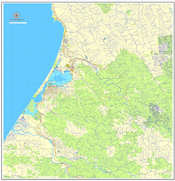
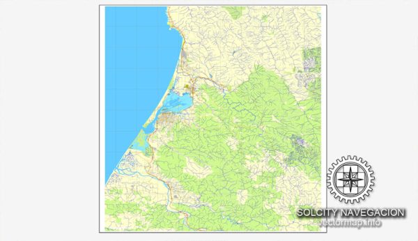
The current principal waterways and railroads in Humboldt and Eureka, California. Some general information about the region’s transportation infrastructure as of that time.
Humboldt County is located in the northern part of California and is known for its rugged coastline, redwood forests, and natural beauty. Eureka is the largest city and the county seat of Humboldt County.
Waterways:
- Humboldt Bay: Eureka is situated on the shores of Humboldt Bay, which is the second-largest natural bay in California. The bay is used for both commercial and recreational purposes.
Railroads:
- Northwestern Pacific Railroad (NWP): Historically, NWP played a significant role in the transportation infrastructure of the region. It connected Eureka to the national rail network, facilitating the transport of goods and passengers.
It’s important to note that the specifics of transportation infrastructure can change over time due to various factors such as economic developments, changes in transportation modes, and infrastructure projects. For the most up-to-date information, I recommend checking with local authorities, transportation departments, or official sources in the Humboldt County area.


 Author: Kirill Shrayber, Ph.D. FRGS