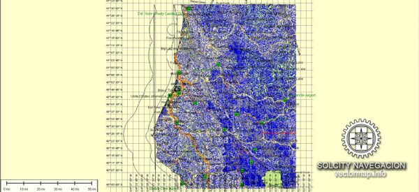
A principal streets and roads in Humboldt County, California, some of the major roads and highways in the area.
- Highway 101: This is a major north-south highway that runs through Humboldt County, connecting it with other parts of California.
- Highway 299: This highway runs east-west and is an important route connecting Humboldt County with inland areas. It’s particularly significant for travelers coming from Redding and the eastern part of the state.
- Avenue of the Giants: This scenic highway runs through Humboldt Redwoods State Park and is renowned for its towering redwood trees. It’s a popular route for tourists.
- US Route 101 Business (Eureka): Within Eureka, the largest city in Humboldt County, there is a business route of Highway 101 that goes through the downtown area.
- Broadway Street (Eureka): Broadway Street is one of the main streets in downtown Eureka, known for its historic architecture and local businesses.
- Main Street (Fortuna): In the city of Fortuna, Main Street is a central thoroughfare with shops, restaurants, and services.
- Humboldt Hill Road: This road runs through the Humboldt Hill area, providing access to residential neighborhoods.
Please note that the specific road network and names of streets can change, and it’s advisable to check with local sources or mapping services for the most up-to-date information. If you’re looking for detailed and current information, consider reaching out to the Humboldt County Department of Public Works or using online maps and navigation tools for real-time updates.


 Author: Kirill Shrayber, Ph.D. FRGS