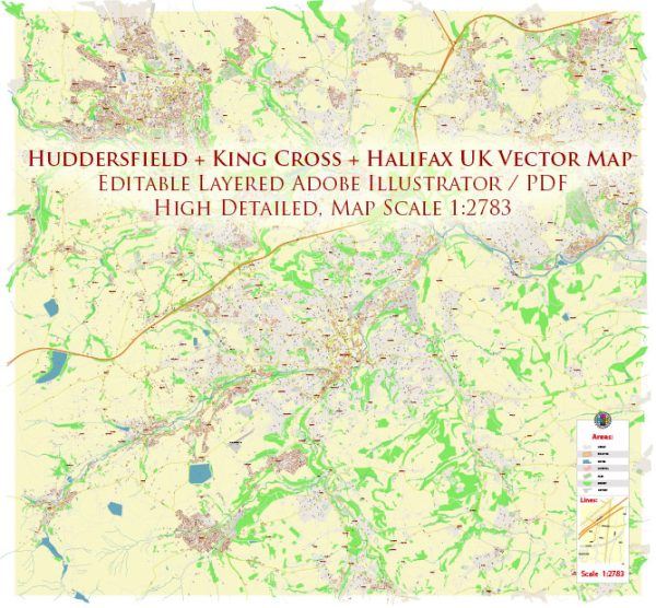
Huddersfield, King Cross, and Halifax are towns in West Yorkshire, United Kingdom. A general information about these areas, specific details about principal streets and roads, here’s an overview of these locations:
Huddersfield:
1. Kirkgate:
- Kirkgate is a historic street in the town center of Huddersfield. It is known for its shops, restaurants, and cultural attractions.
2. New Street:
- New Street is another important road in the town center, featuring various businesses and connecting to key areas.
3. John William Street:
- This street is located in the commercial center of Huddersfield and is home to retail stores and offices.
4. Leeds Road:
- Leeds Road is a major route leading out of Huddersfield towards the east, connecting the town to nearby areas.
King Cross (a district in Halifax):
1. King Cross Road:
- King Cross Road is a primary road in the King Cross area, connecting to the town center of Halifax.
2. Skircoat Green Road:
- This road runs through the Skircoat Green area and is a notable route in the King Cross district.
Halifax:
1. Horton Street:
- Located in the town center, Horton Street is known for its shops, businesses, and access to key amenities.
2. Commercial Street:
- Commercial Street is an important shopping and business street in Halifax, offering a range of services and retail options.
3. Pellon Lane:
- Pellon Lane is a road that runs through various parts of Halifax, providing connectivity to different neighborhoods.
4. Halifax Ring Road:
- The Halifax Ring Road is a series of interconnected roads surrounding the town, facilitating smoother traffic flow.
Please note that the specific details of principal streets and roads may have changed since my last update. For the most accurate and current information, it is recommended to refer to local maps, navigation systems, or official sources in the respective towns.


 Author: Kirill Shrayber, Ph.D. FRGS