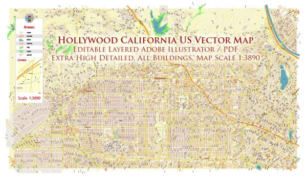
The transportation system in Hollywood, California, is an integral part of the broader Los Angeles metropolitan area’s transportation network. Please note that specific details may have changed, and it’s advisable to check for the latest information.
- Roads and Highways:
- Hollywood is well-connected to the larger Los Angeles area via a network of major roads and highways. The Hollywood Freeway (US Route 101) is a significant artery running through the area, providing access to downtown Los Angeles to the southeast and the San Fernando Valley to the northwest.
- Public Transit:
- The Los Angeles County Metropolitan Transportation Authority (Metro) operates several bus lines that serve the Hollywood area. Buses are a crucial mode of transportation for many residents and visitors.
- Metro Rail:
- The Metro Red Line, a subway system, has stations in Hollywood. The line connects Hollywood with downtown Los Angeles, North Hollywood, and other parts of the city. The Hollywood/Highland station is a notable stop, located near popular attractions such as the Hollywood Walk of Fame and the TCL Chinese Theatre.
- Taxis and Ride-Sharing:
- Taxis and ride-sharing services like Uber and Lyft are widely available in Hollywood, offering convenient transportation options for residents and tourists.
- Walking and Biking:
- Hollywood is known for its pedestrian-friendly areas, particularly around the Hollywood Walk of Fame and the Hollywood Boulevard. Biking is also becoming more popular, with efforts to improve bike lanes and infrastructure in the city.
- Parking:
- Hollywood has various parking facilities, including street parking, parking lots, and garages. However, parking can be challenging in busy areas, and public transportation is often a more convenient option.
- Airports:
- Hollywood is served by several airports in the region, with Los Angeles International Airport (LAX) being the largest and most commonly used for domestic and international flights.
- Entertainment Industry Transportation:
- Given Hollywood’s status as the entertainment capital, the area experiences unique transportation needs related to film and television production. This involves the use of specialized vehicles, temporary road closures for shooting, and coordination with local authorities to manage the impact on traffic.
Local transportation authorities and websites can provide the most up-to-date information on public transit schedules, road conditions, and any ongoing infrastructure projects.


 Author: Kirill Shrayber, Ph.D. FRGS