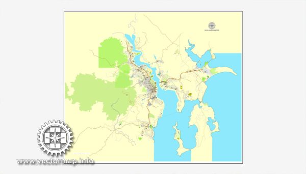
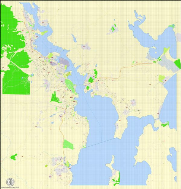
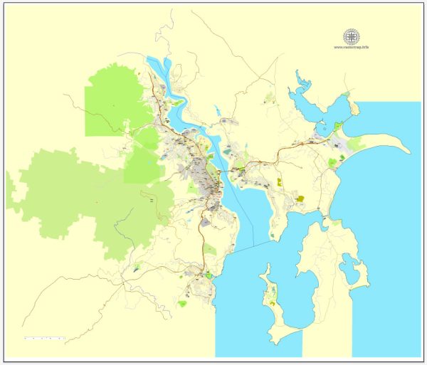
Hobart, Tasmania, is the capital and largest city of the Australian state of Tasmania. A general description of the principal transportation systems.
- Road Transportation:
- Road Network: Hobart has a well-developed road network that connects the city with its suburbs and other parts of Tasmania. The major highways include the Tasman Highway, which connects Hobart to the east coast, and the Brooker Highway, which heads north towards Launceston.
- Public Transportation: Metro Tasmania operates the bus services in and around Hobart. Buses are a key mode of public transportation, serving various routes within the city and its suburbs.
- Air Transportation:
- Hobart International Airport: Located about 17 kilometers northeast of Hobart’s city center, the airport provides domestic and international flights. It serves as a major gateway to Tasmania.
- Sea Transportation:
- Port of Hobart: The Port of Hobart plays a significant role in the transportation of goods to and from the city. It accommodates cargo ships, cruise ships, and other vessels.
- Ferry Services: While not as extensive as in some larger cities, there are ferry services operating in the region, connecting Hobart to nearby islands and providing scenic transportation options.
- Rail Transportation:
- Freight Rail: Tasmania has a limited rail network, primarily used for freight transportation. However, passenger rail services are not as prominent.
- Active Transportation:
- Cycling and Walking: Hobart promotes active transportation, with various cycling paths and pedestrian-friendly areas within the city. This includes scenic routes along the waterfront and parks.
- Taxi and Ride-Sharing:
- Taxis: Taxis are available for transportation within the city, and ride-sharing services may also operate, providing additional options for residents and visitors.
It’s essential to check for the latest developments and changes in the transportation infrastructure in Hobart, as cities often undergo updates and improvements to their systems. For the most current and specific information, you may want to consult local transportation authorities or official city websites.


 Author: Kirill Shrayber, Ph.D.