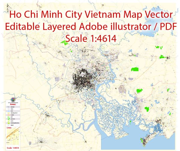
Ho Chi Minh City (HCMC), Vietnam, has a diverse transportation system to cater to the needs of its rapidly growing population. Here is a description of the principal transportation systems in Ho Chi Minh City:
- Motorbikes and Scooters:
- Motorbikes and scooters are the dominant mode of transportation in Ho Chi Minh City. They are widely used for commuting due to their flexibility in navigating through traffic.
- Public Buses:
- HCMC has an extensive public bus network that covers various routes across the city. Public buses are an affordable option for residents and visitors.
- Taxis and Ride-Sharing:
- Taxis are readily available in the city, and ride-sharing services such as Grab are popular options for convenient and comfortable travel.
- Cyclos and Xe ôm:
- Cyclos (three-wheeled bicycle taxis) and xe ôm (motorbike taxis) are traditional modes of transportation, especially for short distances. They offer a unique way to experience the city.
- Metro System:
- As of my last update, HCMC was in the process of developing its metro system. Line 1 (Ben Thanh – Suoi Tien) was under construction, and subsequent lines were planned to expand the metro network.
- Water Transportation:
- The Saigon River plays a role in transportation, with ferries connecting different parts of the city. Water taxis and boats are also used for commuting in certain areas.
- Private Vehicles:
- Private car ownership is increasing in Ho Chi Minh City. However, traffic congestion is a challenge, particularly during peak hours.
- Bicycle Rentals:
- Some areas offer bicycle rental services, promoting a more sustainable and eco-friendly mode of transportation.
- Pedestrian Areas:
- Certain areas in the city, such as District 1 (downtown), have pedestrian-friendly zones with walkable streets, making it pleasant for people to explore on foot.
- Traffic Challenges:
- Traffic congestion is a common issue in Ho Chi Minh City, especially during rush hours. The city is actively working on improving its transportation infrastructure to address this concern.
It’s recommended to check with local sources or official transportation authorities for the most up-to-date information on transportation in Ho Chi Minh City, as developments may have occurred since my last update.


 Author: Kirill Shrayber, Ph.D.